This report is tangentially related to my post about the Tripleshot Crossfondo event in Victoria. Rob is one of several of my friends who have done the event, most of them twice now – I did not partake the first year, but the notoriety it had was infectious and got me out the following year.
The qualities of that event which inspired this particular ride, and a few others which Rob has been developing largely by trial and error, center around being off-pavement as much as humanly possible, and giving special preference to the cheekiest of trails. The lesser known the better. The trails don’t need to be rideable, although that’s a benefit, as long as they connect. After all, the beauty of a bike is it can be comfortably pushed or even carried.
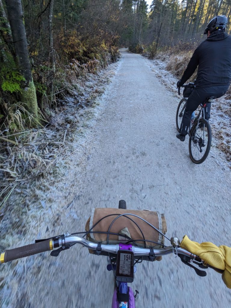
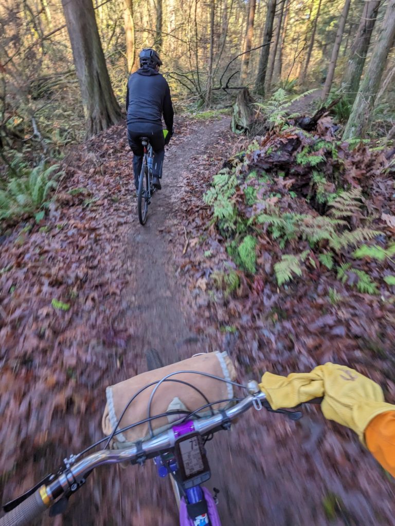
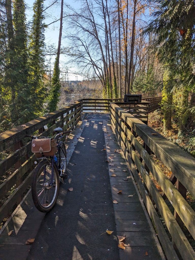
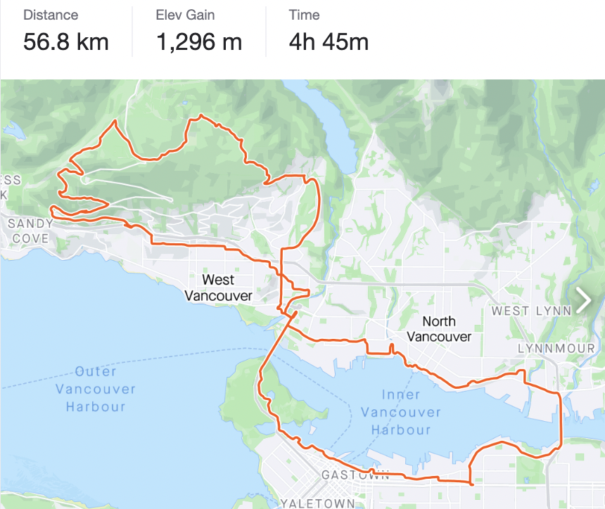
The day started out clear but pretty cold, with ample frost where the sun hadn’t reached. Starting from downtown, we worked our way through Stanley Park’s trail network, opting to respectfully decline some trail closure signage, and then over the bridge into North Vancouver where we traced along the Capilano river trails until it was time to climb.
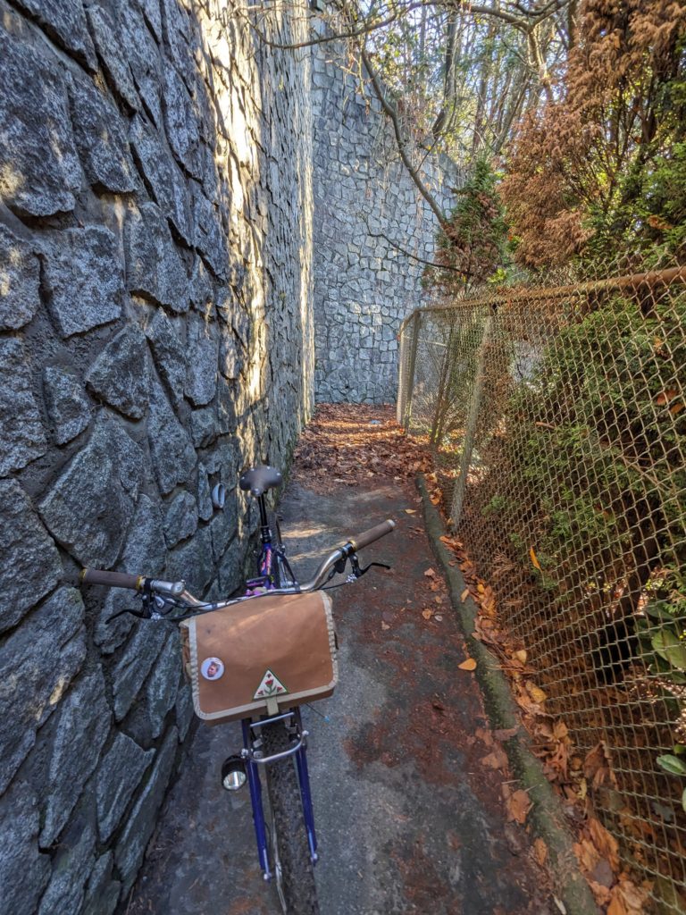
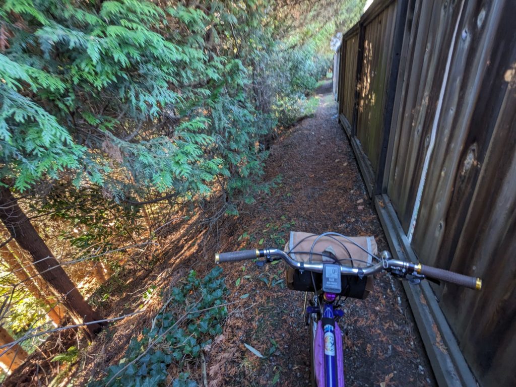
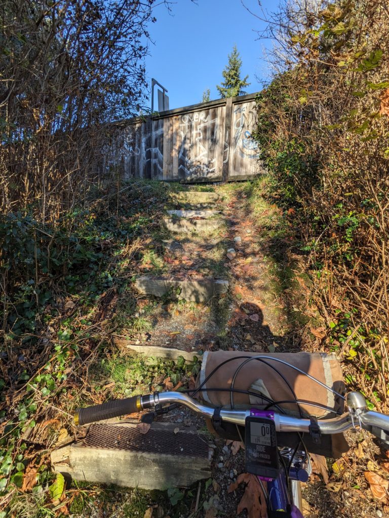
In my experience, every route has its seed that the rest of the route is built around. In this case, I believe the seed was a stretch of fence line that made all of Rob’s trial and error worthwhile; a joyous stretch of secretive singletrack providing views into a series of impressive backyards.
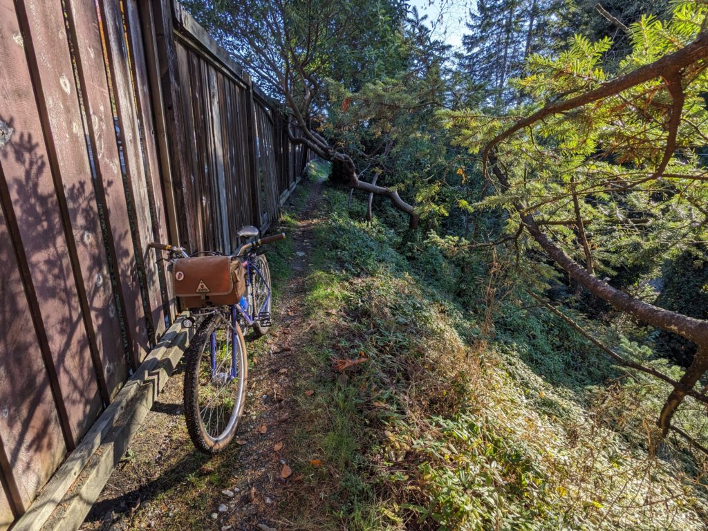
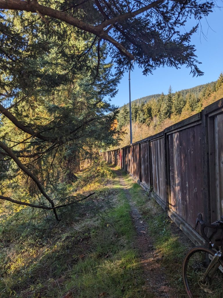
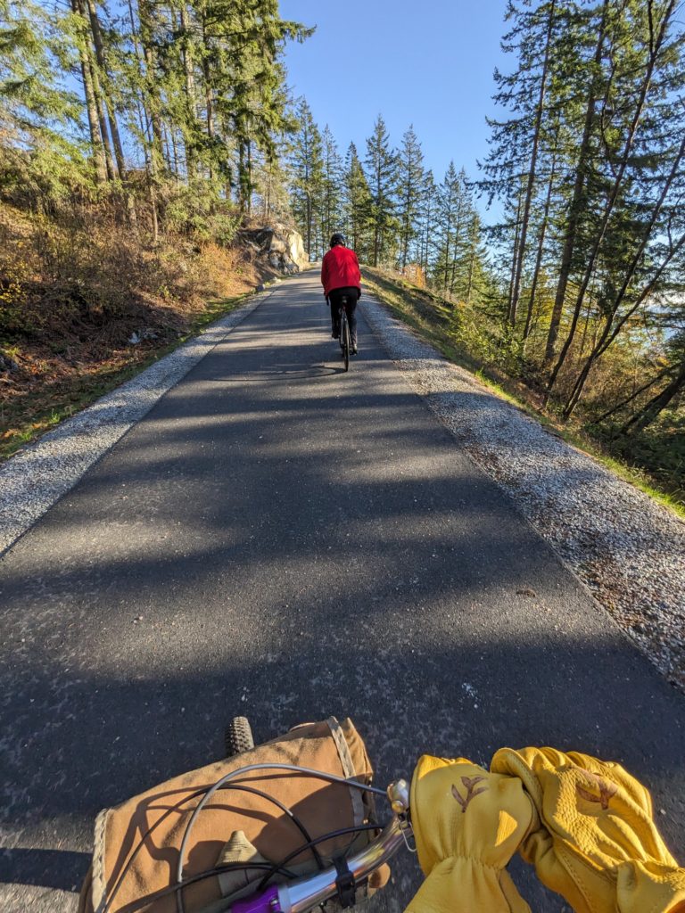
From there, we continued to climb, taking the new-ish “skyway” path at the base of Cypress up towards the forest full of the most extreme mountain biking trails that BC has to offer.
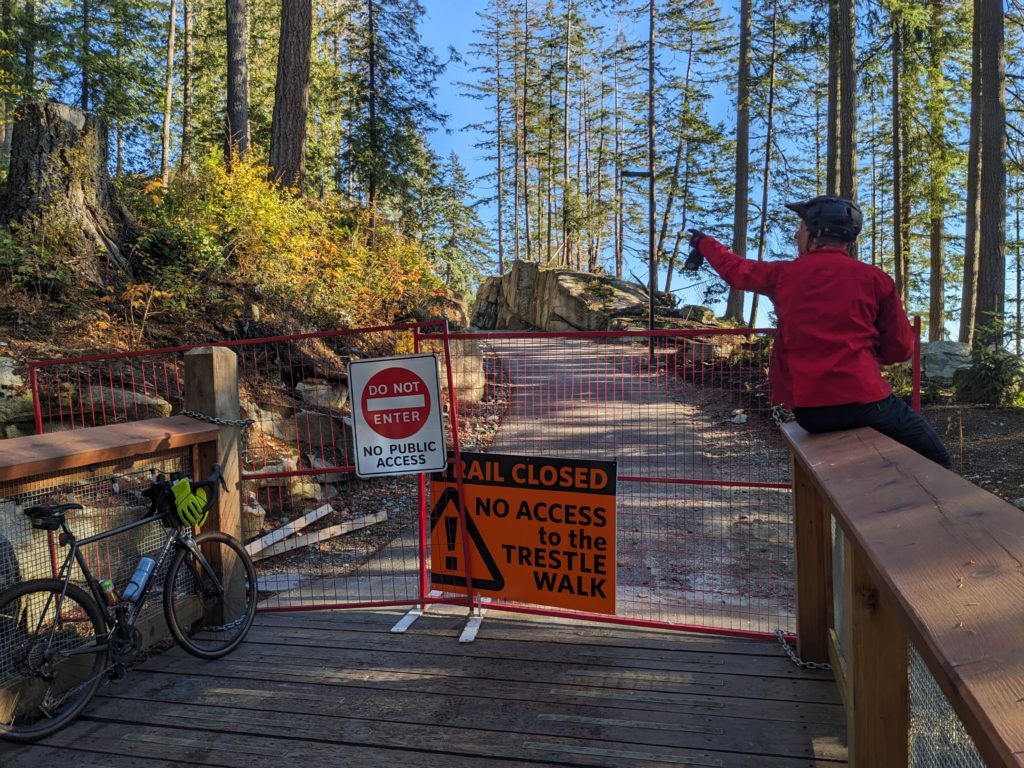
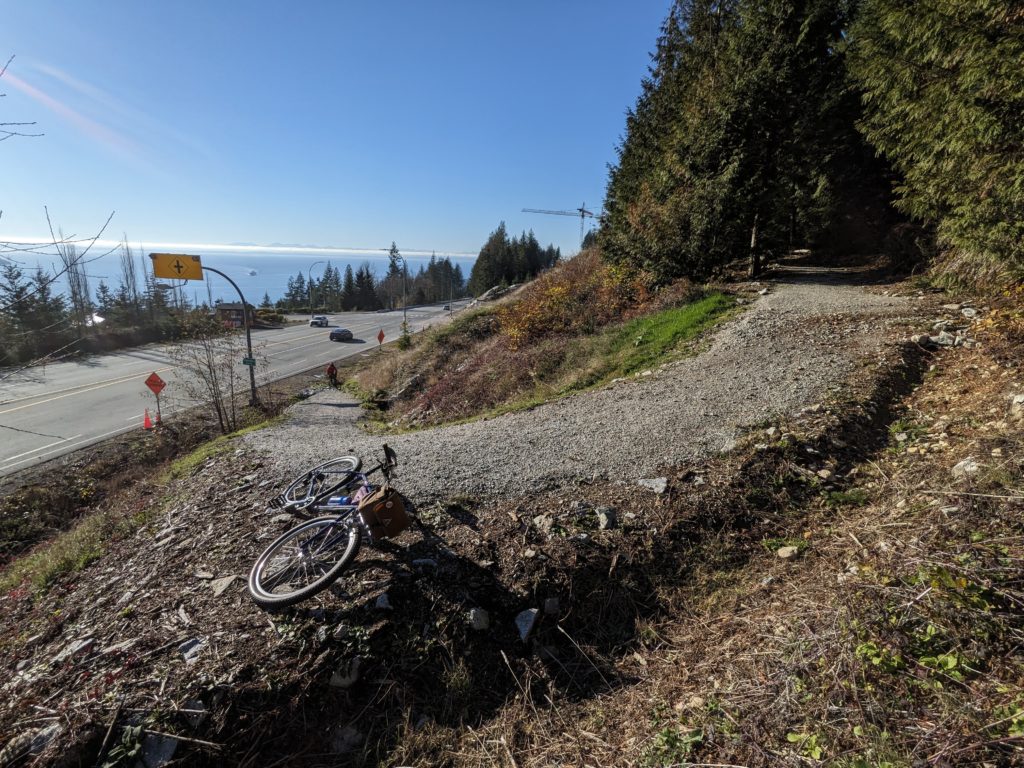
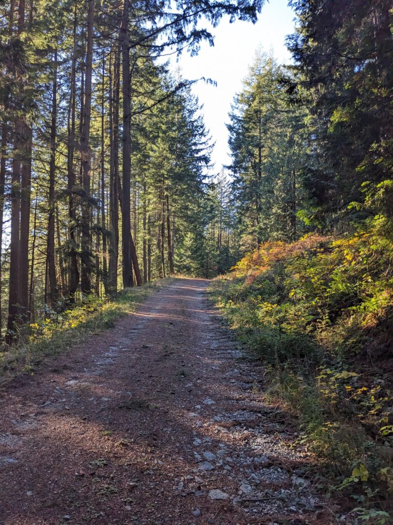
It turned out that the top section of the path was closed, so we had to detour. Nonetheless we ended up at our intended climb up Fern Trail. Essentially a FSR, Fern Trail connects with BLT, another access road used to maintain the power lines that climb up to the ski area as well as access all the steep and technical MTB trails in this area.
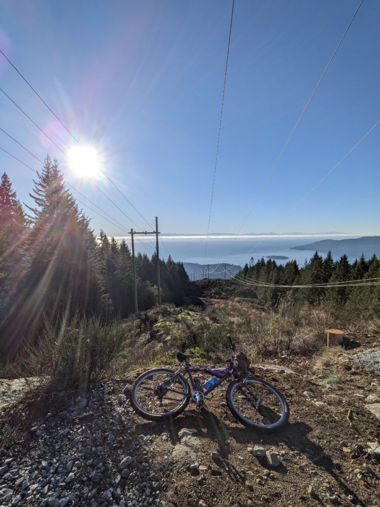
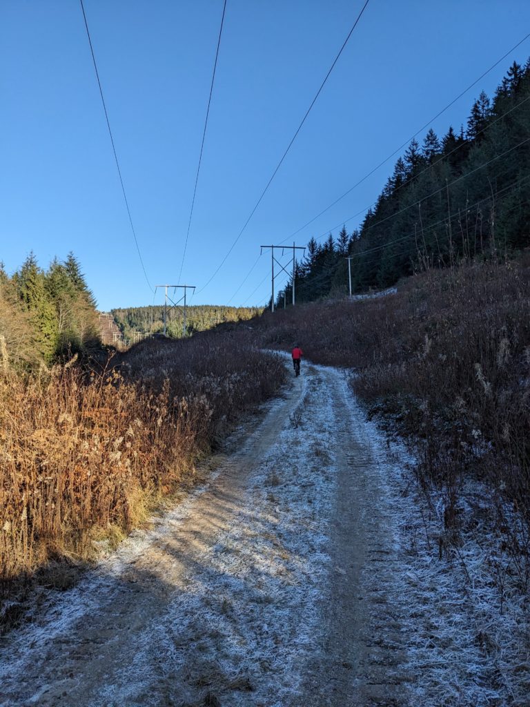
The grade is relentlessly steep, and recent excavator traffic had left a washboard surface that made matters worse. Sometimes walking was the best course of action.
Once we reached the power line cut block, the views highlighted how far we’d come and the reward was well appreciated. As we mustered on, the ground grew increasingly frozen. We crossed paths with some descending hikers who warned us of nearly impassable – and certainly unrideable – sections of ice to come.
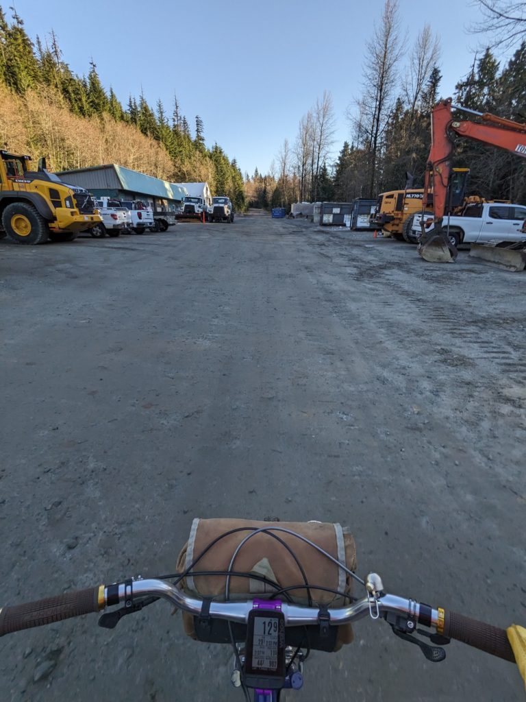
Considering the two hours of daylight left, we chose to cut through the Cypress works yard to access the cabin access “road” on the other side of the main road. This section of trail is beautiful double track, as illustrated below.
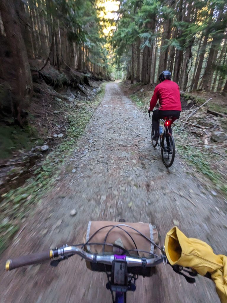
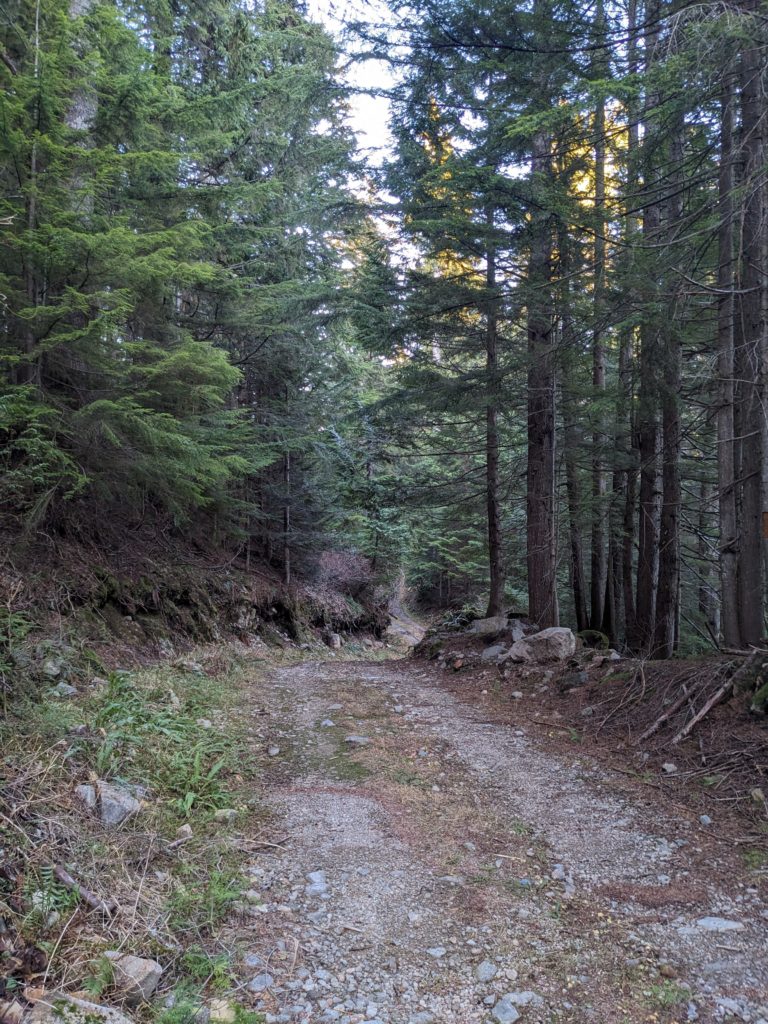
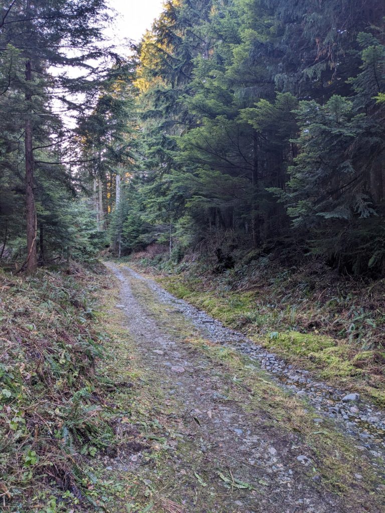
While this stretch is absolutely perfect gravel riding, it comes at a significant cost: not only was climbing to reach it a true challenge, but it leads to nowhere. Well, not nowhere, exactly. It leads to hiking trails.
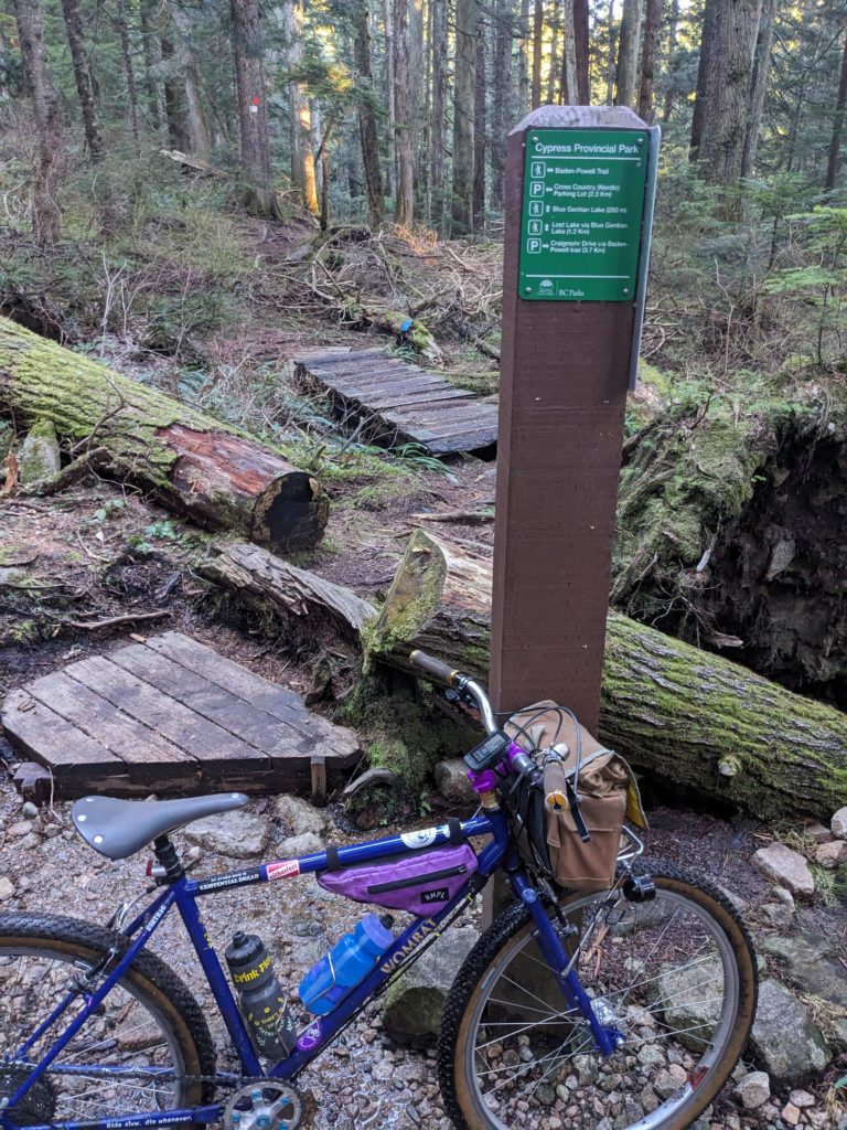

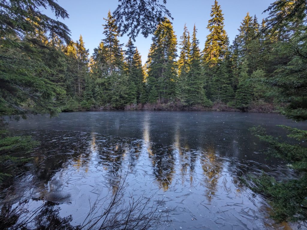
So we took the hiking trails. We carried our bikes over innumerable obstacles, riding only a very small percentage of the trail where we knew we would do no damage and no damage would be done to us. We walked around Blue Gentian Lake, shown below, which was covered in a thin layer of ice at this point. Note the small snow balls strewn across its surface.
We continued to walk much more than ride, even once we completed the hiking trail and reached the “FSR” we were aiming for. It turns out, the FSR was less road and more rocky, long-abandoned skidder road.
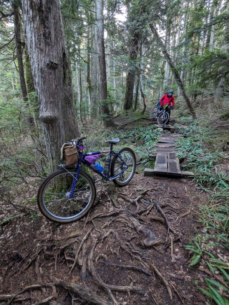
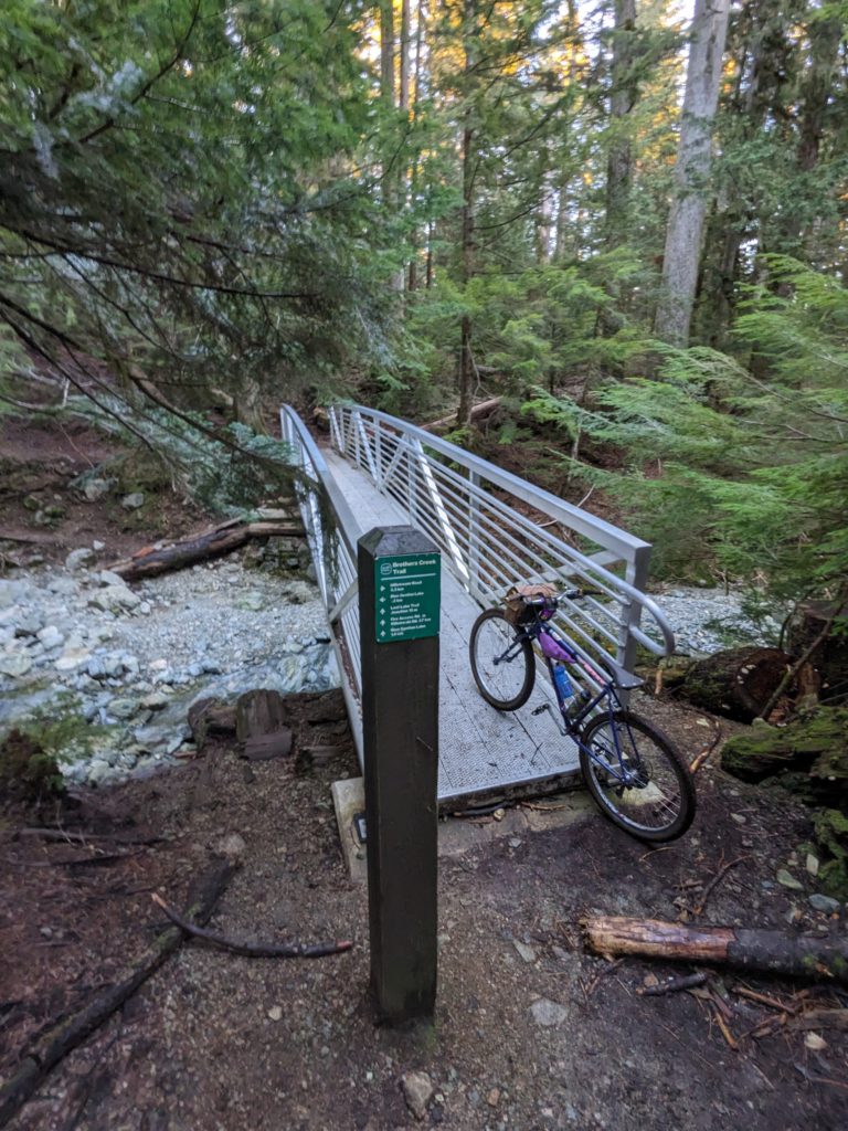
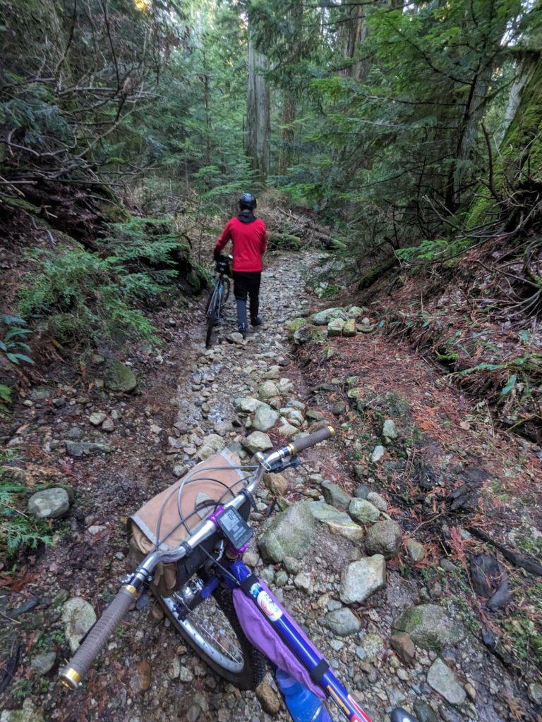
In fact, the ‘road’ was so unpleasant that once we were reasonably confident we wouldn’t get too lost, we opted to go off-trail and simply traverse the forest floor, hoping to come across an unofficial loam trail.
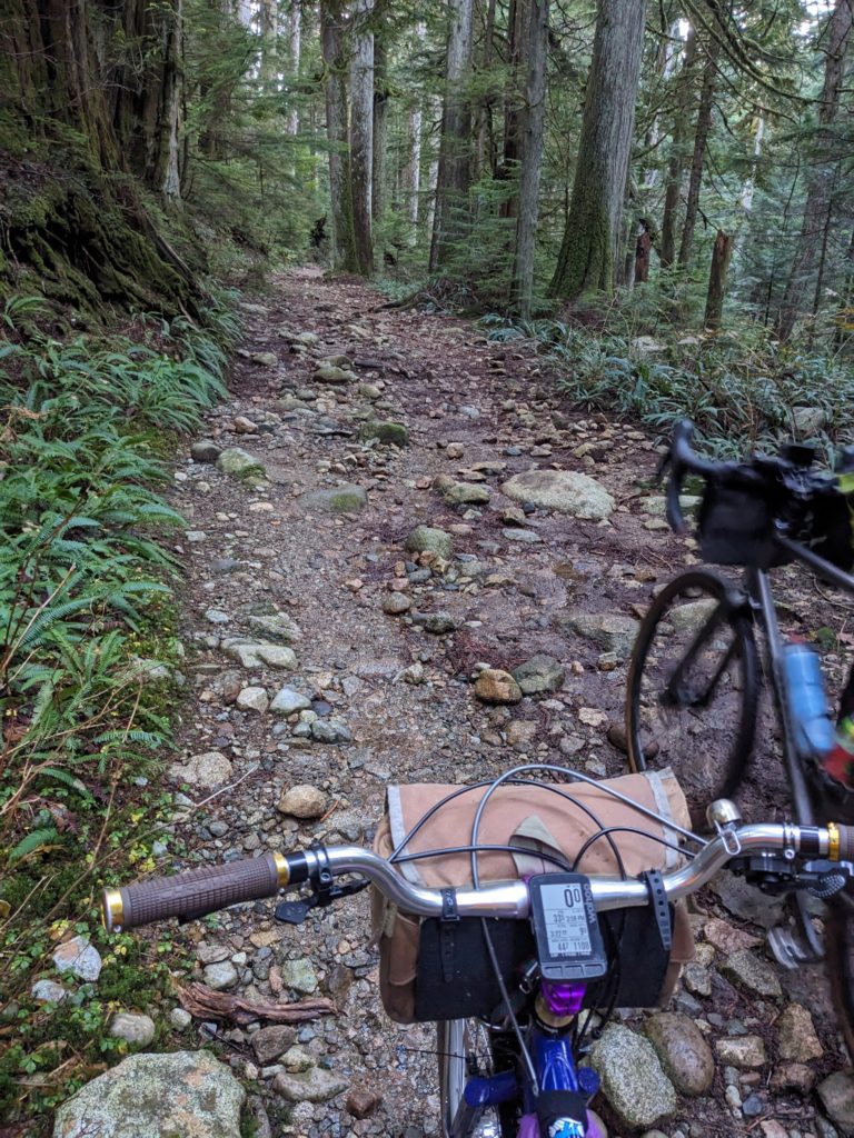
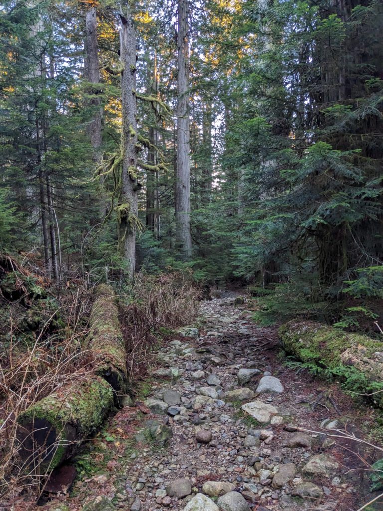
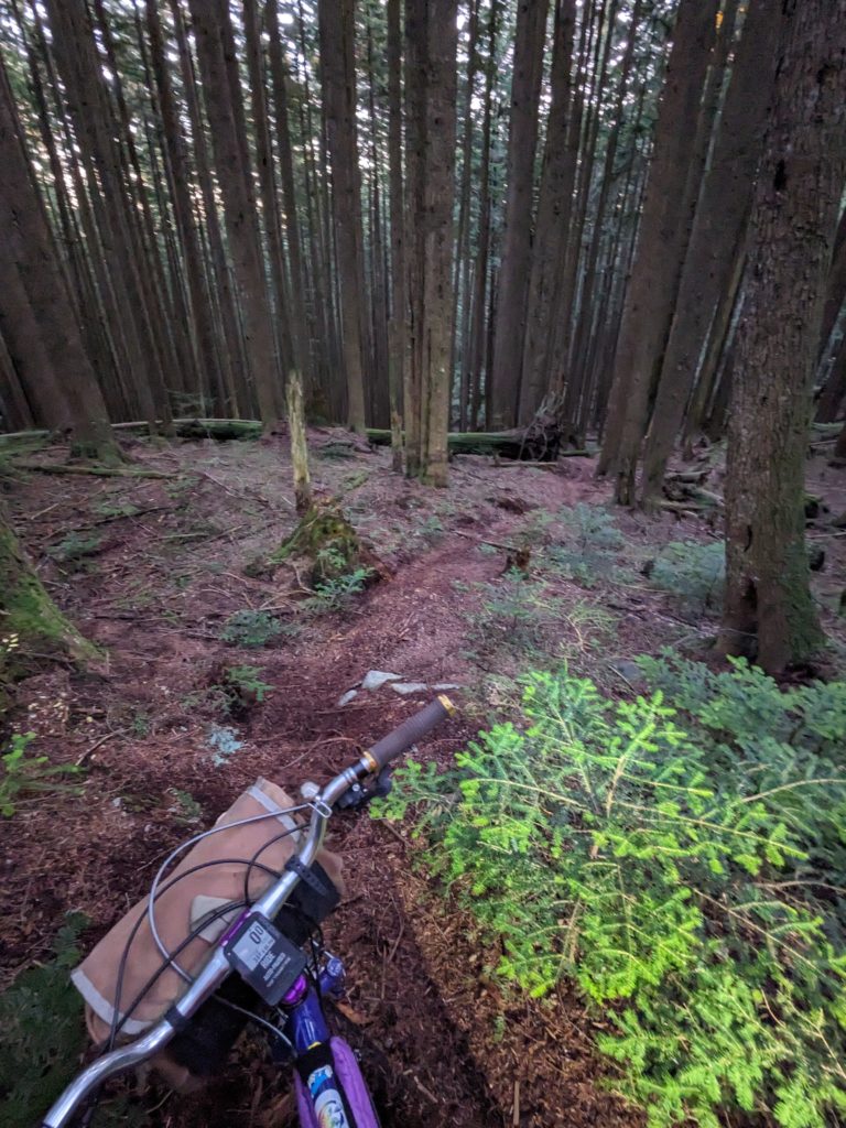
Eventually, we did! And it was fun – some of the most fun of the whole ride. We found a fairly chill loamer that put us back on the old logging road (see right image below – truly a skidder road!) which provided a few hoots along the way.
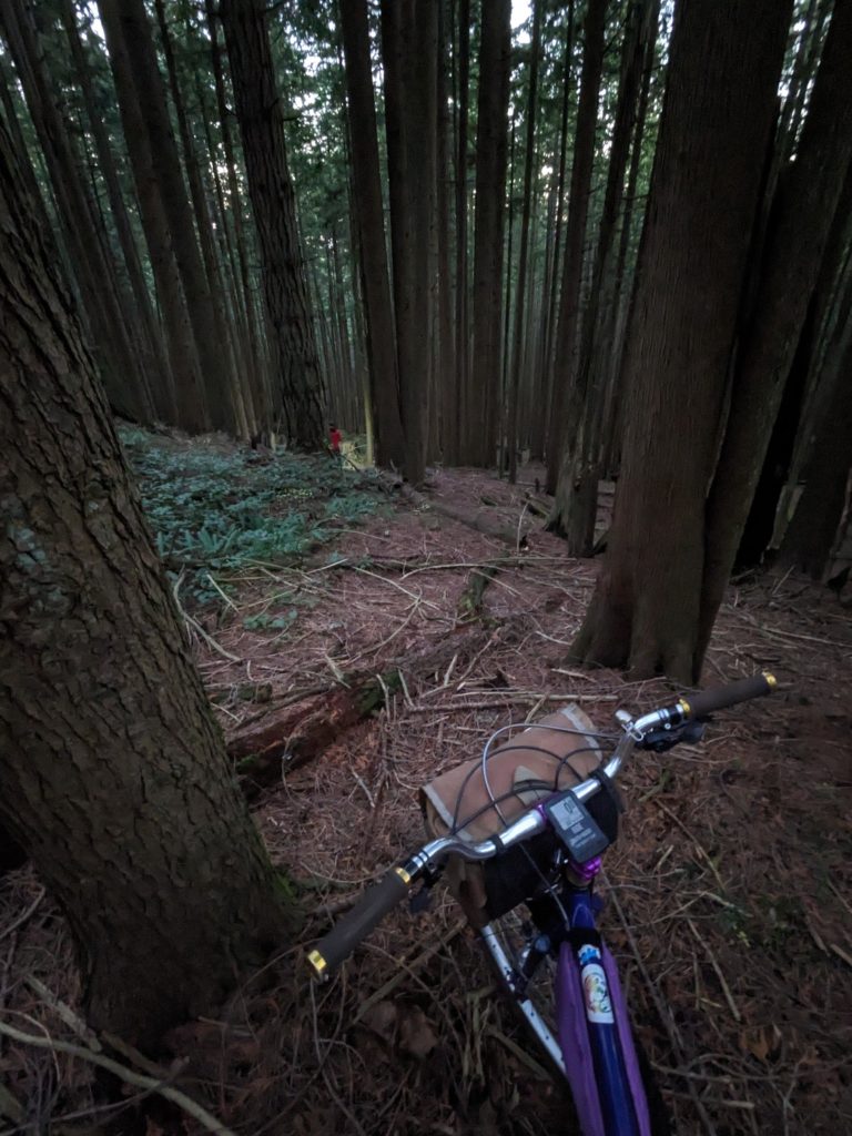
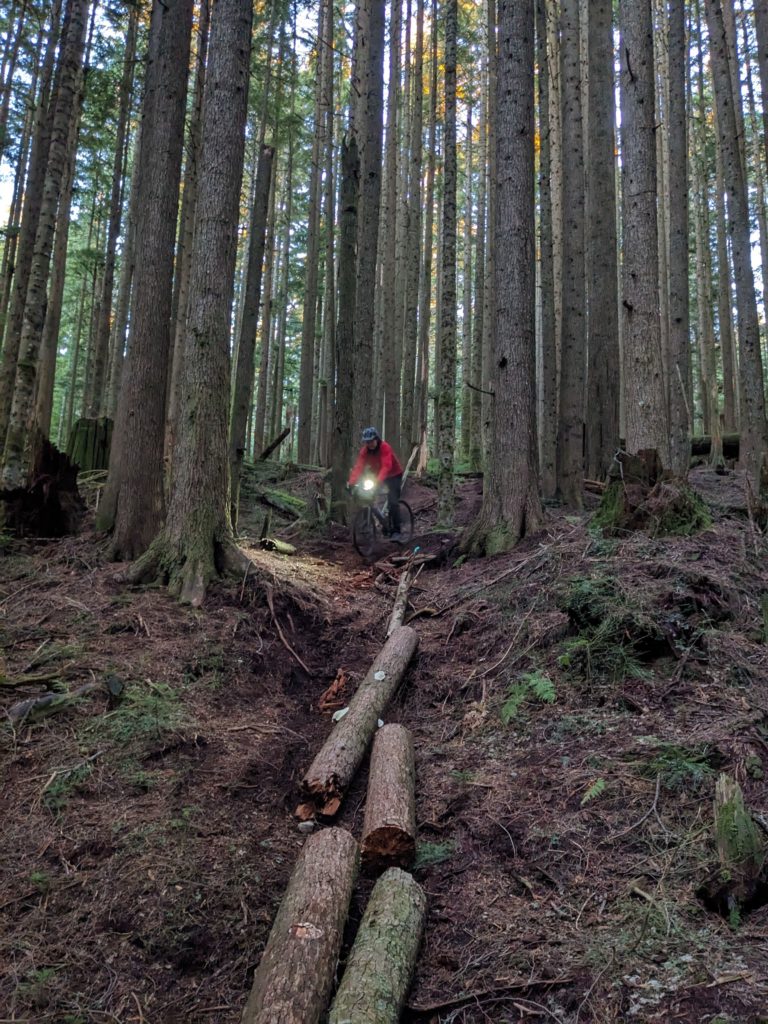
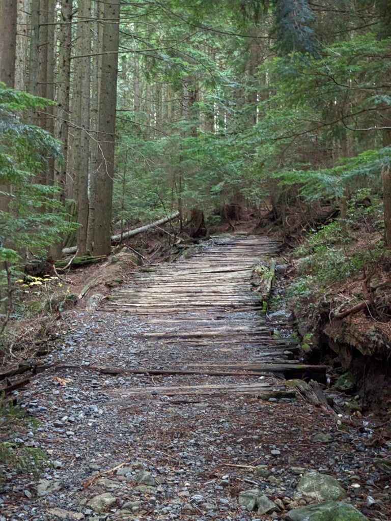
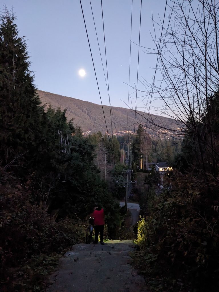
Eventually, we were led out of the forest, and into the mansions at the tippity-top of the affluent British Properties – just in time to catch the tail end of a lovely sunset.
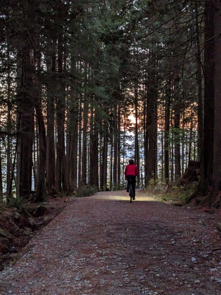
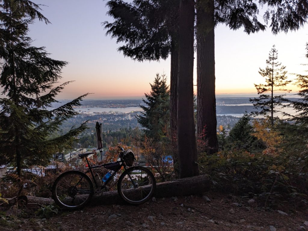
Here is the route visual
Leave a Reply