July 13, 2024
My pops lives in Chemainus, a small town along the coast of Vancouver Island between Nanaimo and Victoria. I’ve ridden to his place before a couple times now via a combination of paved MUP and quiet roads with a few kilometres of highway shoulder. But I hoped to find a way to get there that reduced my interaction with cars as close to zero as possible, and perhaps inject a little more exploration and adventure into the route as well.
I spent some time on RidewithGPS, Strava heatmaps, and Google streetview to piece together a route that spent as much time off roads as possible, and when not possible, on the quietest roads around. I did not get any input from people who actually rode these trails and I knew the inherent risk there, but for ~50km I was willing to take some chances.
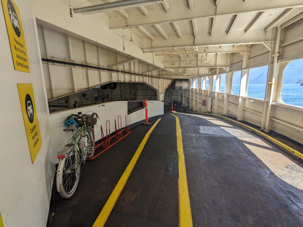
It started with the ride to Horseshoe bay to catch a ferry to the island, and for this I took the “high route” that I prefer over the more popular Marine Dr. It involves some steep hills and a bit of stairs and steep loose singletrack, but has negligible car traffic.
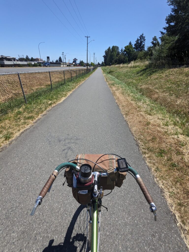
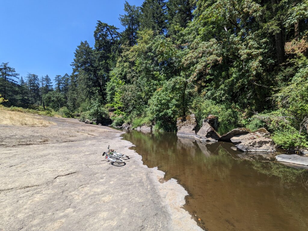
The first few kilometres once in Nanaimo were familiar, and also quite pleasant. A few short blocks on a side road from the ferry terminal places you onto a rail-grade MUP, and this led me directly to Bowen Park which was beautiful, quiet singletrack for a short while. I was sure I’d see signs saying these trails were no-bikes because they seemed too good to be true, but I never did.
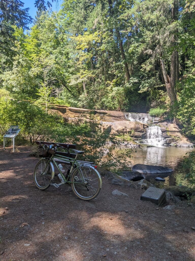
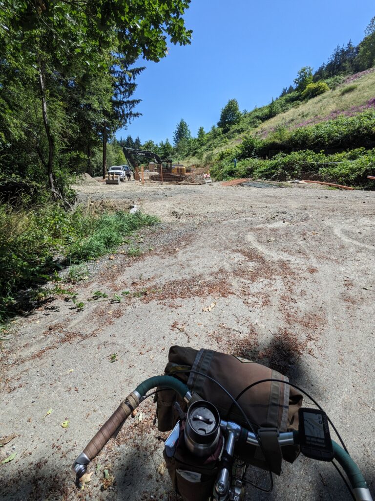
I was having such wonderful luck riding a combination of quiet MUP paths and smooth single track that I nearly got out of Nanaimo without a hiccup. Thanks to a closed section due to active construction, I finally hit my first re-route. Even then though – it was an easy and short detour on a road with a bike “lane” so I can hardly complain.
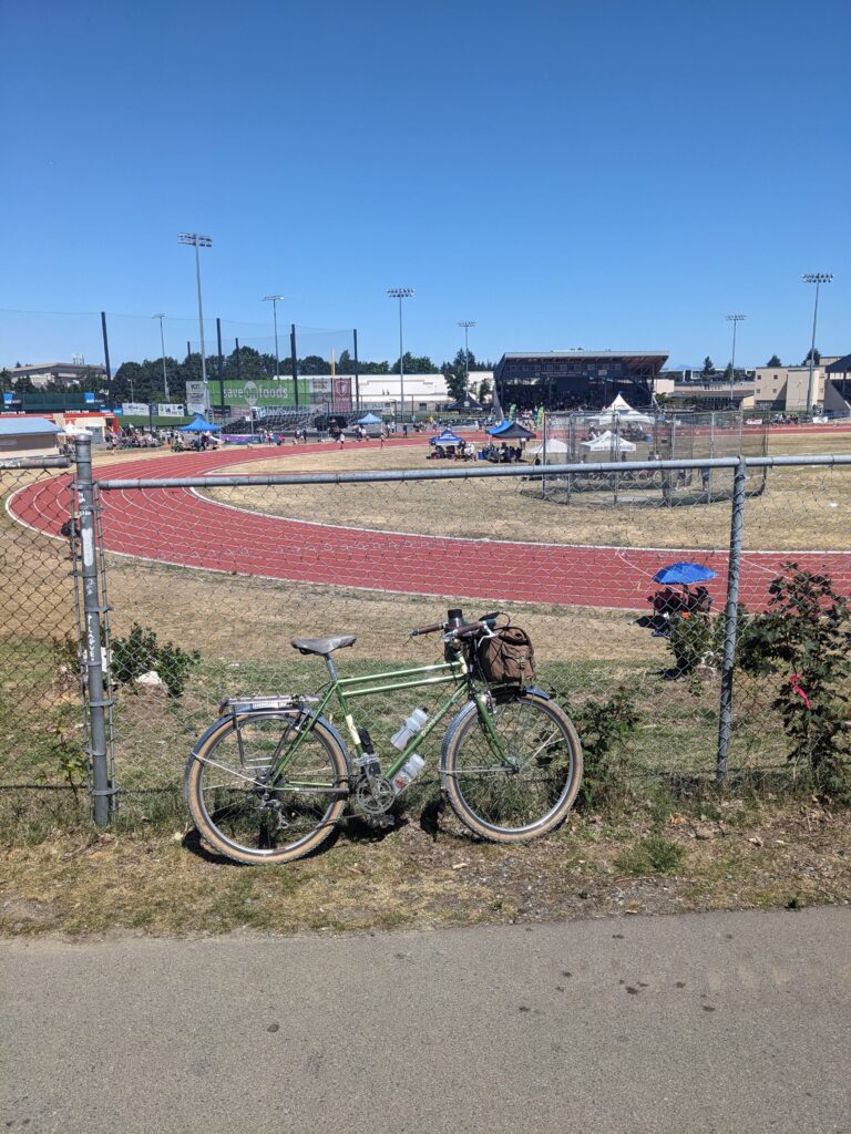
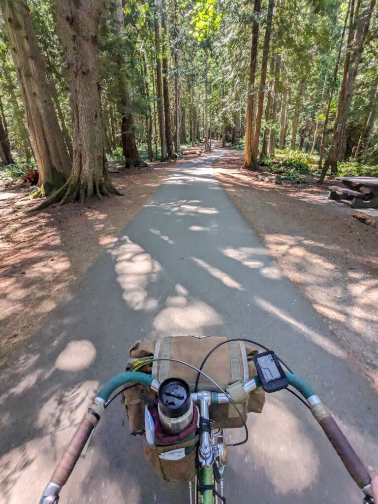
I rode past some sports fields where everyone seemed to be, and then into Colliary Dam park. All of this on very pleasant paved path that is largely away from roads and in the forest. Absolutely lovely. At the end of the park, the path deposits you right onto the parkway trail, which continues the paved MUP alongside the highway but mostly into the trees enough that the road noise is not bothersome at all.
I should say, it’s been hot as heck this day. Mild as far as 2024 heat waves go, but certainly over 30C when humidex is factored in. I am not a fan of the heat, and this was pushing my limits for comfort – lots of water. I drank an entire bottle at a fountain in the park I’d recently passed through at this point and was carrying three. By the end of the day I had drank seven bottles of water.
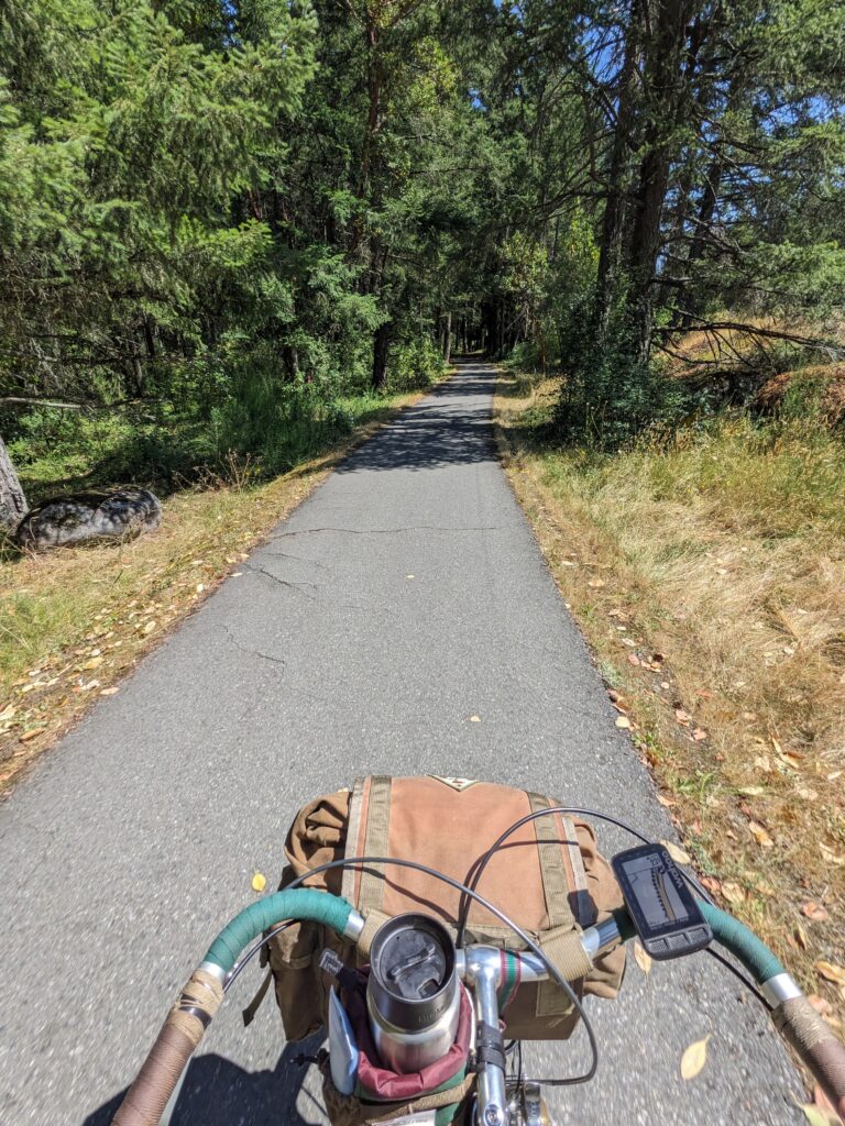
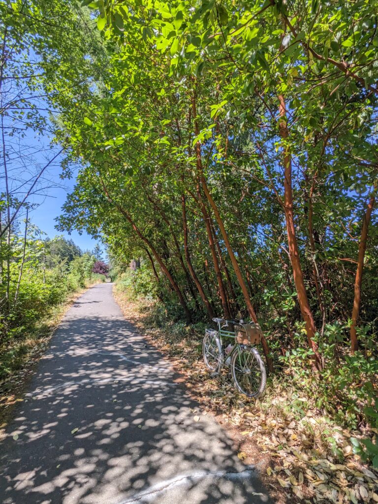
I was plenty familiar with the Parkway trail and really enjoy it. I was chuffed with how well the route worked out from the ferry to exiting Nanaimo – I would not consider Nanaimo to be a very bike-friendly town, so managing to link together a route that had quite literally only a couple blocks of time spent on vehicle streets felt like a cheat code.
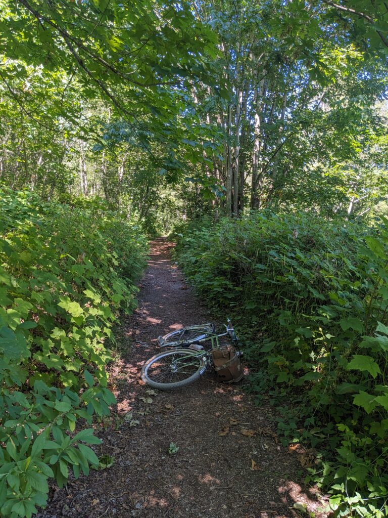
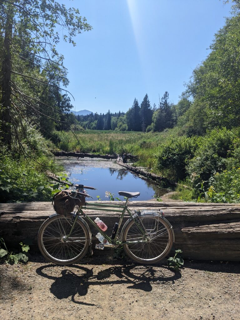
However, at the end of the parkway MUP I turned right instead of the left I was familiar with, and headed into the first section that I didn’t know what to expect from. It began by descending a rural street to a dead end where no trail was apparent until I was greeted by a large “Private Property: No Trespassing” sign affixed to a gate next to a rural house with old pickups strewn about the yard. Beside this gate was a small trail; clearly low traffic but very much a trail.
While the sign had my hackles up, the first stretch was really pleasant: the trail was well enough established, smooth, and followed a ridge line full of birds and beautiful forest. I saw no other humans, but this was to become standard for the rest of the day.
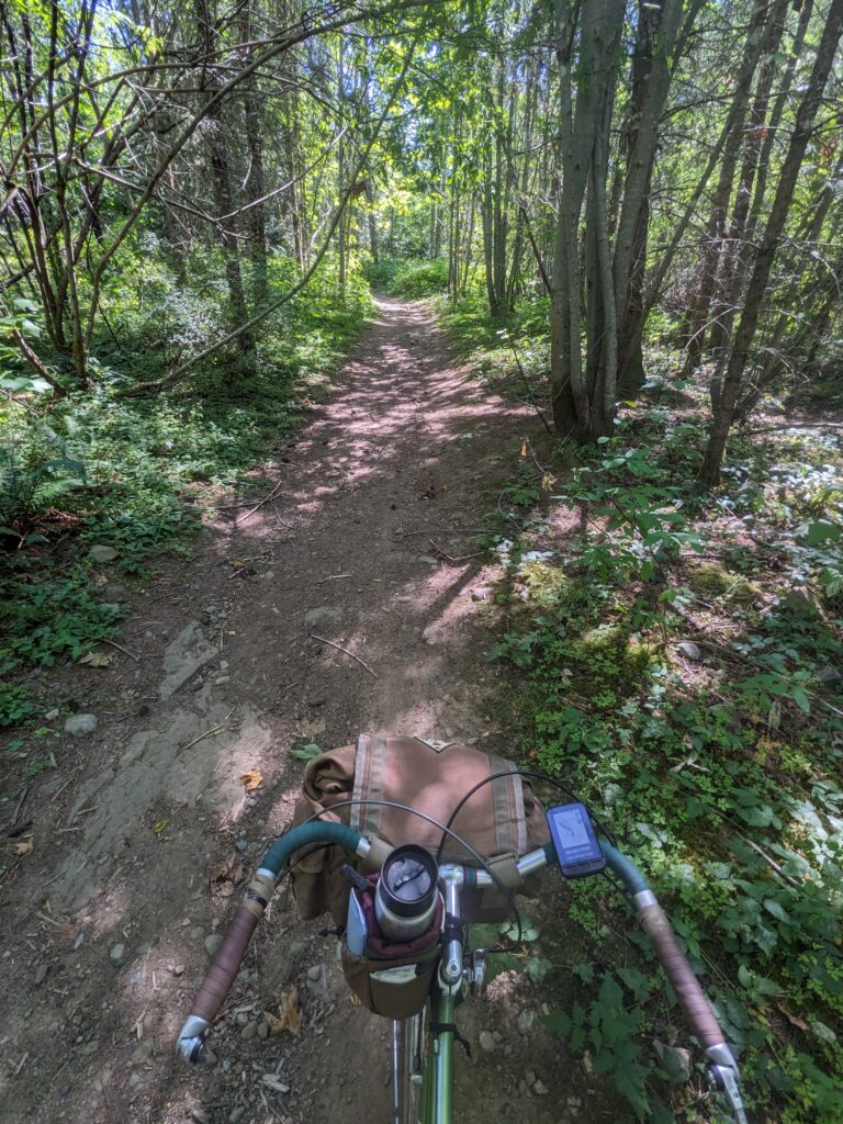
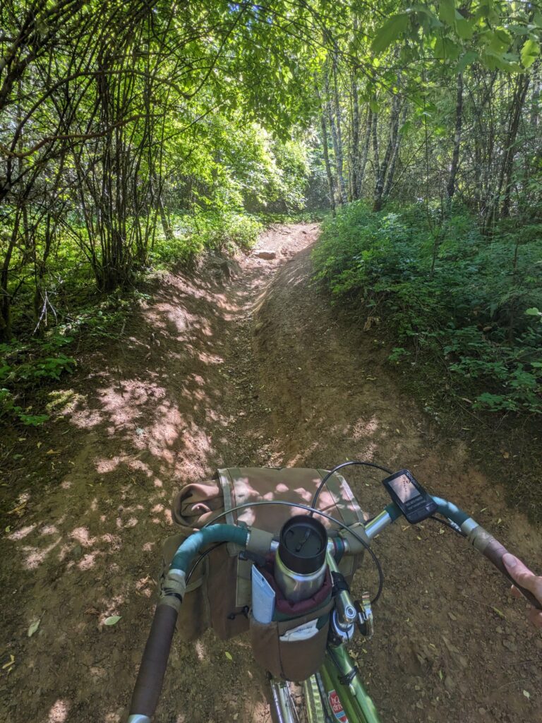
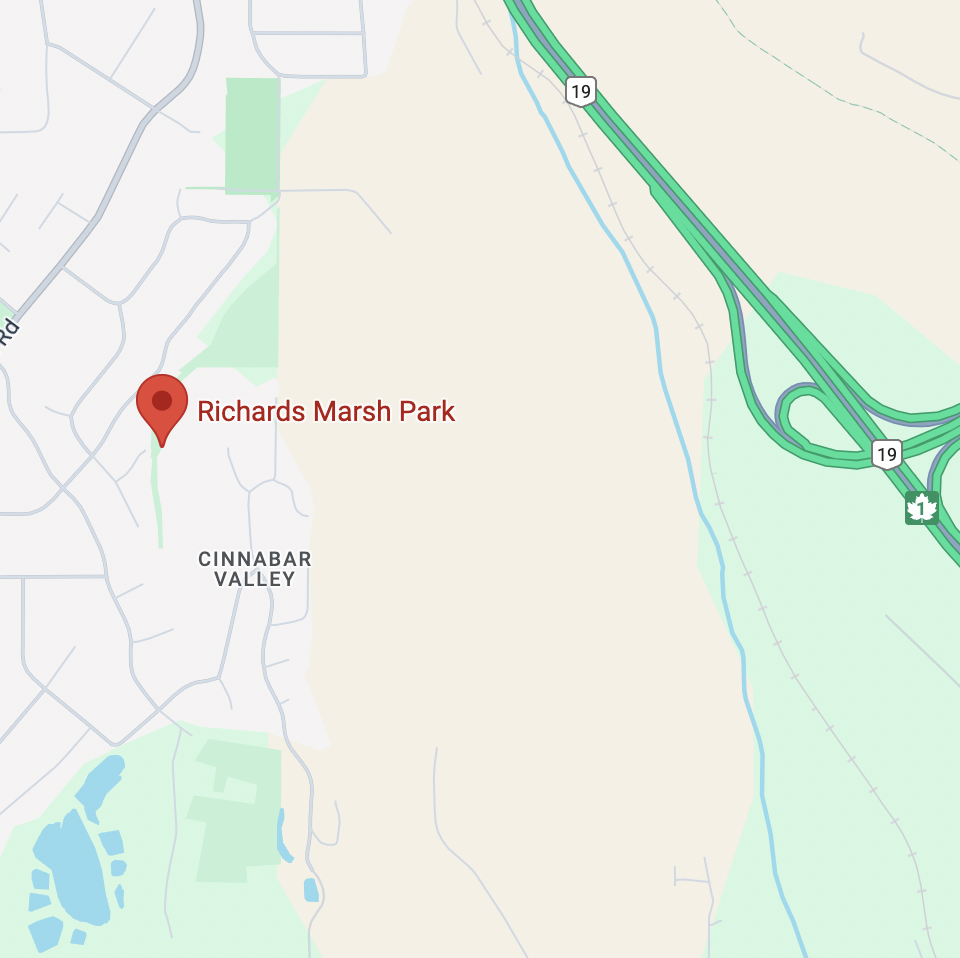
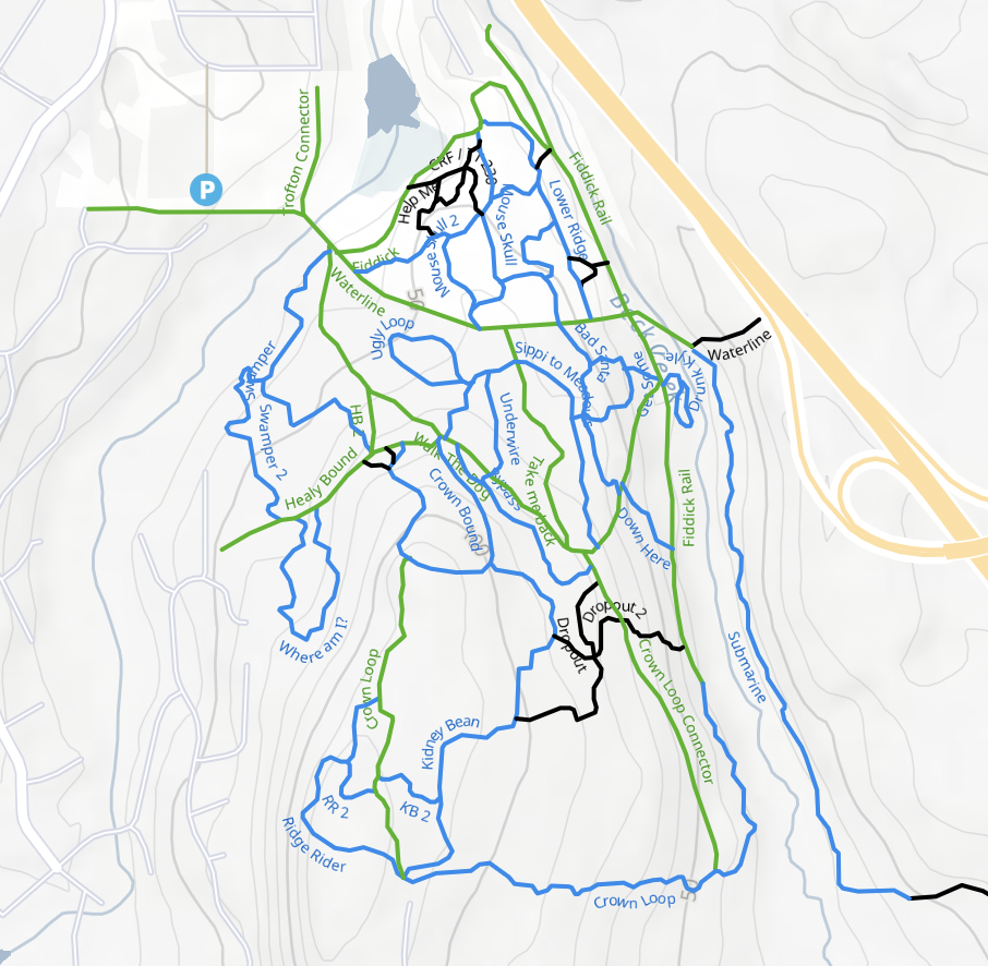
Things became a fair bit more difficult shortly after. I ended up on an old network of what I now understood were moto trails. Where is this? Well, if you look on Google maps it’s a swath of nothingness next to a marsh, but Trailforks showed me there was a network of something here. Other than a few steep, rutted-out climbs covered in marble-like pebbles that my Vessi sneakers were no match for, the trails were really quite fun. I did have a few spots that I genuinely was unsure if I could get both me and my bike physically up due to the lack of traction, though. A lot of energy and time were spent taking a step, sliding back down, and repeating over and over.
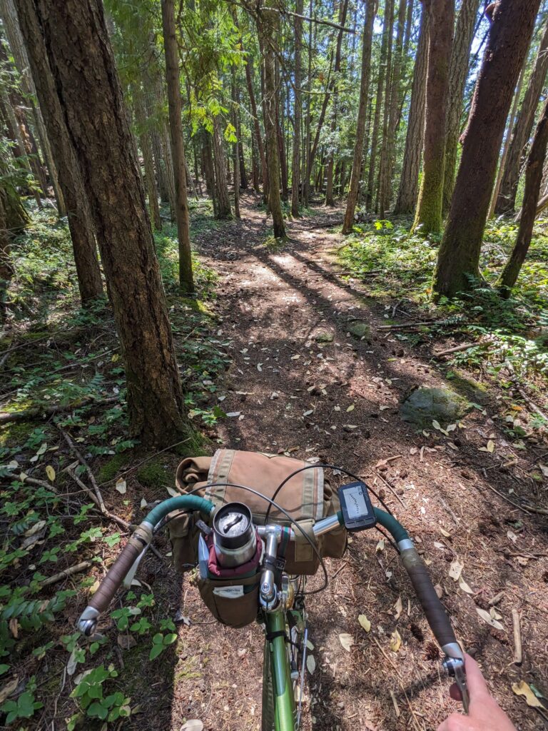
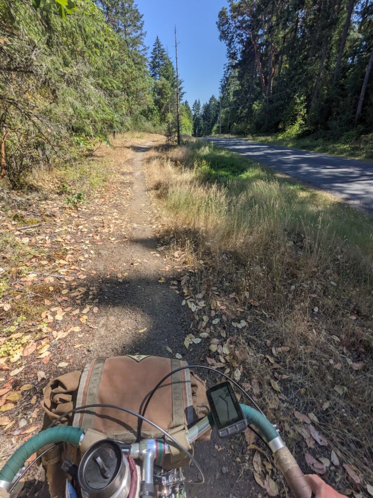
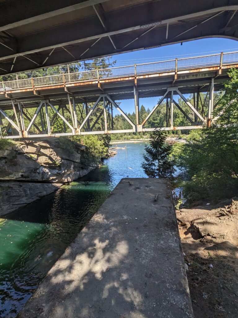
It felt good to be through that and onto some quiet country roads as I made my way to the Nanaimo River where the highway crosses it. I rode down the slope under the highway to watch all the folks diving into the river, or using the giant rope swing. I became quite invested in seeing through a young woman’s fear of jumping – friends yelling from the water, coming up to coach. Many others jumped in turn while she built up the courage. Unfortunately my beer was empty before she jumped and I never saw if it ended up happening.
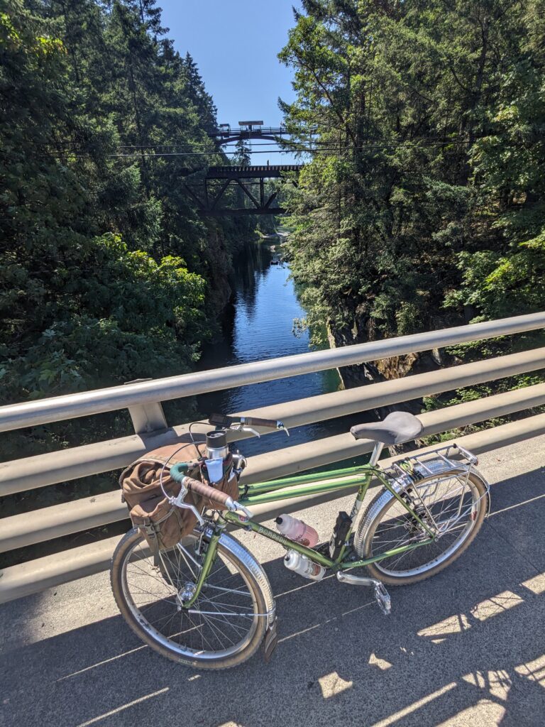
From the river, I hopped onto the highway shoulder for all of 300 metres before exiting onto a really lovely trestle bridge that placed me on a quiet street. A few kilometres of side roads then took me to what was the biggest unknown of the route, both in terms of size and my confidence (or lack thereof) on whether it sent.
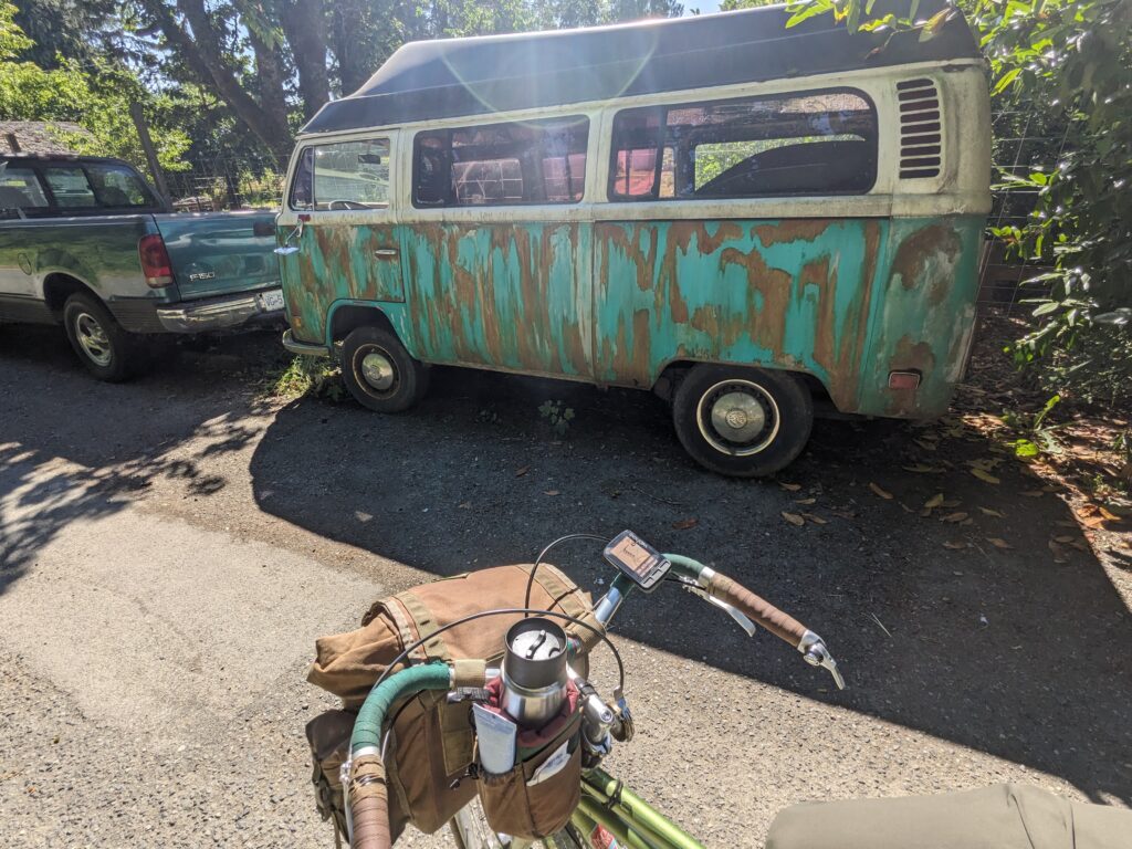
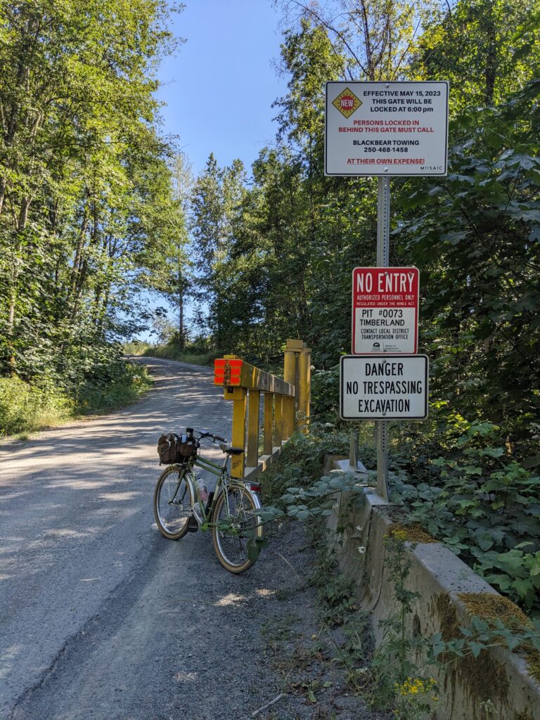
Fittingly, I was greeted by a No Entry sign at the start of this large stretch off pavement. At this point I was just south of Cassidy, and I had headed inland away from all roads that would connect to where I was going. But the gate was open, and in I went.
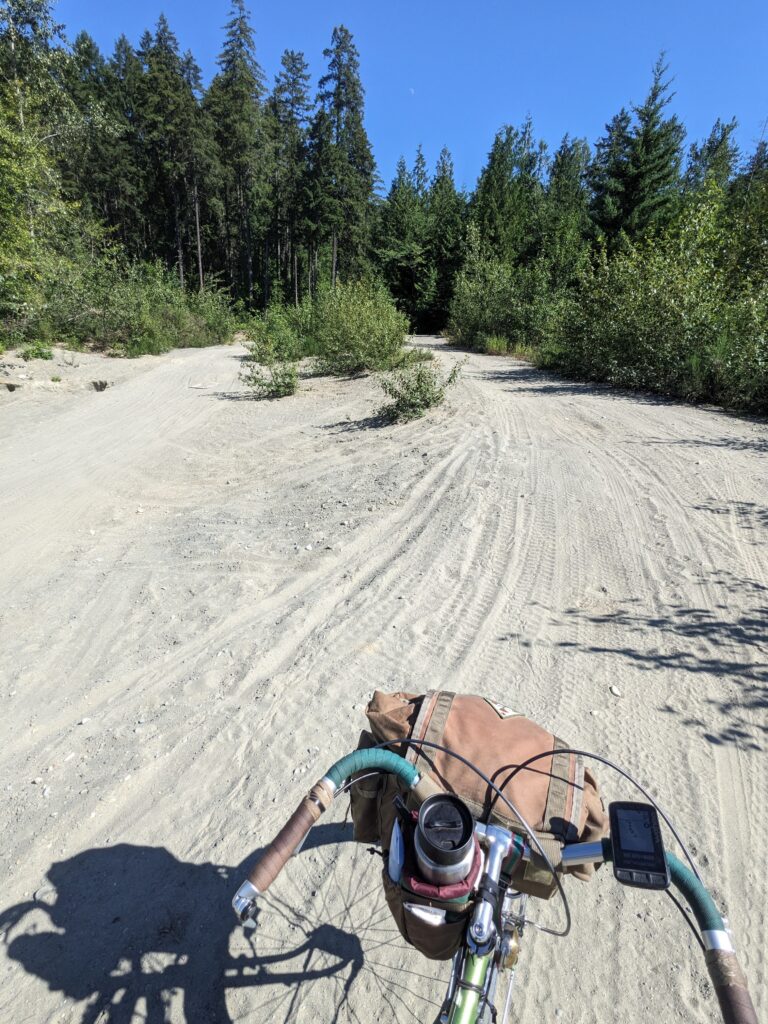
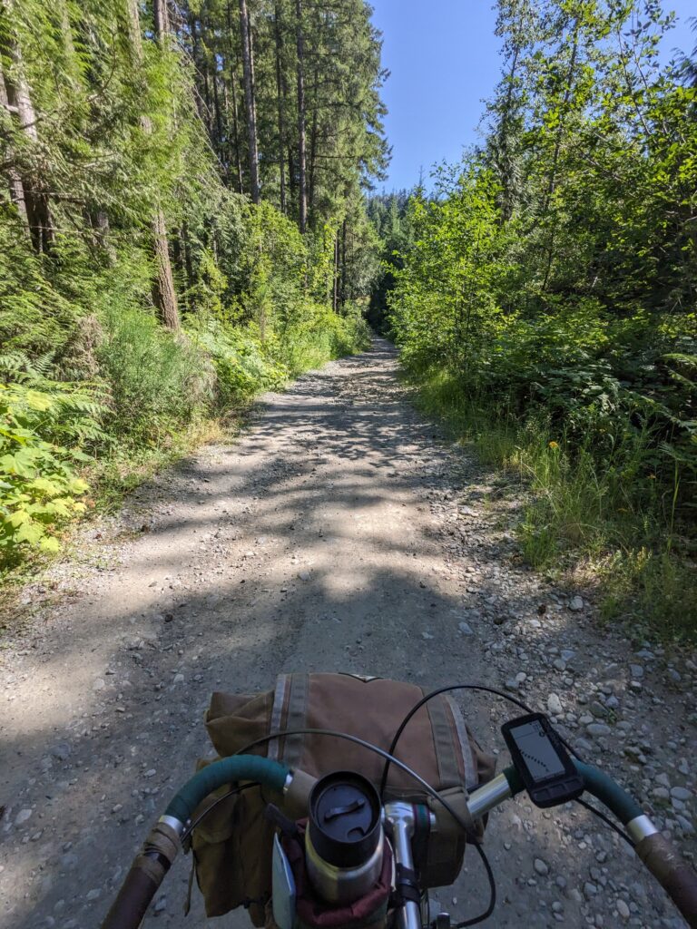
I was only a few kilometres from civilization but it sure didn’t feel like it. Nobody was around, that was for certain. I made my way down “West Bush Main” from near Cassidy towards Ladysmith, with Mount Hayes to my right. There was no vehicle access to these roads except for whatever mining or other activities were in the area, but it was obvious that bicycles do not typically travel this route. Dirt bikes most certainly did though. Welcome to small town Vancouver Island. The surface was very sandy at times, rocky and chunky hard pack other times. It was rarely smooth enough to relax.
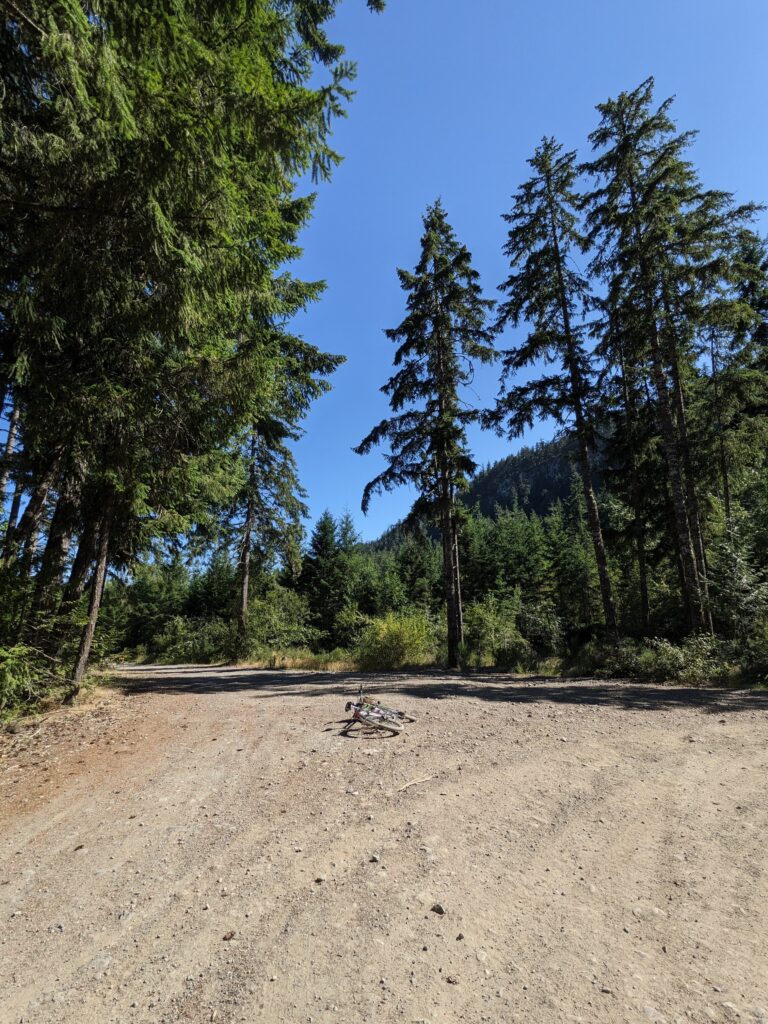
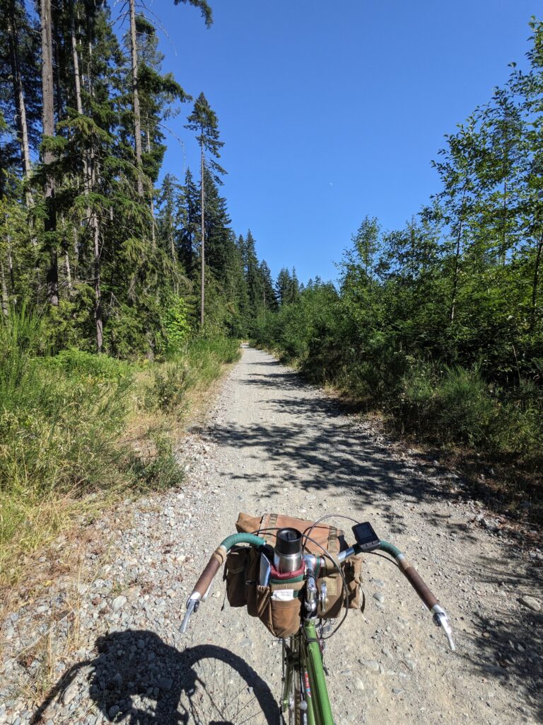
It was only a handful of kilometres but felt long due to the heat and being alone without anyone around. Funny how being a little bit concerned about your life makes you feel more alive. While this was all double track or wider, I had wished for my Stooge and its huge, knobby tires. If I do this again, that’s what I’ll take.
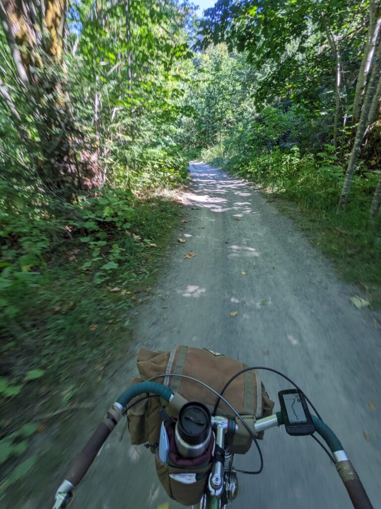
West Bush Main, which I’m not sure I’d recommend, eventually spit me onto a smooth dirt road that apparently is part of Trans Canada Trail as I neared Ladysmith. It was a gentle descent too, so I was finally cruising at speed without fear, hooting and in high spirits.
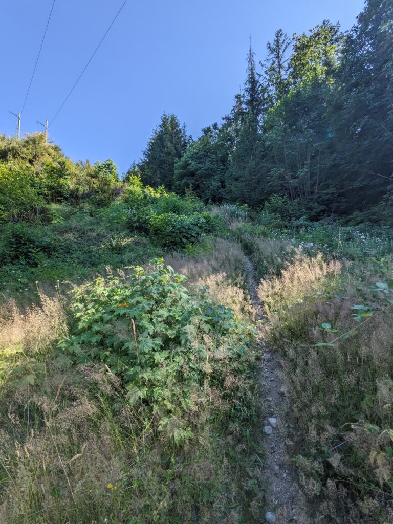
I was quite perplexed when my GPS unit told me to take a hard right off this wonderful road when no junction was apparent. Oh. I see the path now, it’s a tiny, partially overgrown path up a steep embankment along the powerline cut. Wonderful.
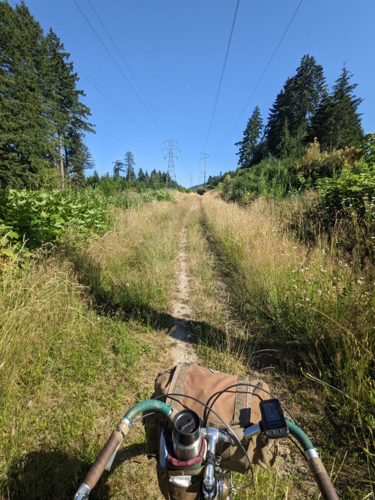
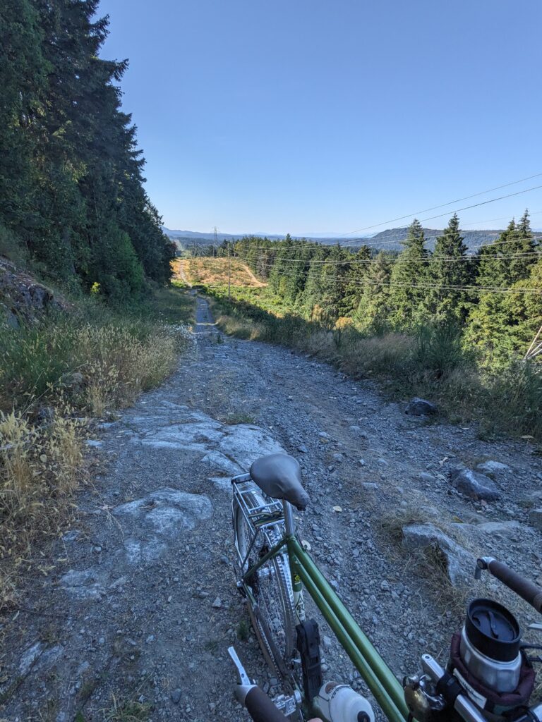
That first ~50m of power line trail off the road took me about 30 minutes to climb. It was so steep and loose near the top I had to first climb up without my bike to make sure it was worth it, then remove the bags and take them up, then spent a stupid amount of time sliding around trying to get my bike up it. The loose-over-hard conditions were killing me today. Thankfully, that first 50m did prove to be the worst of it, and the power line trail became more gently rolling in topography as well as a little more trodden.
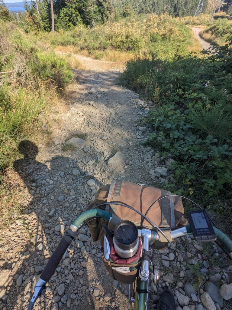
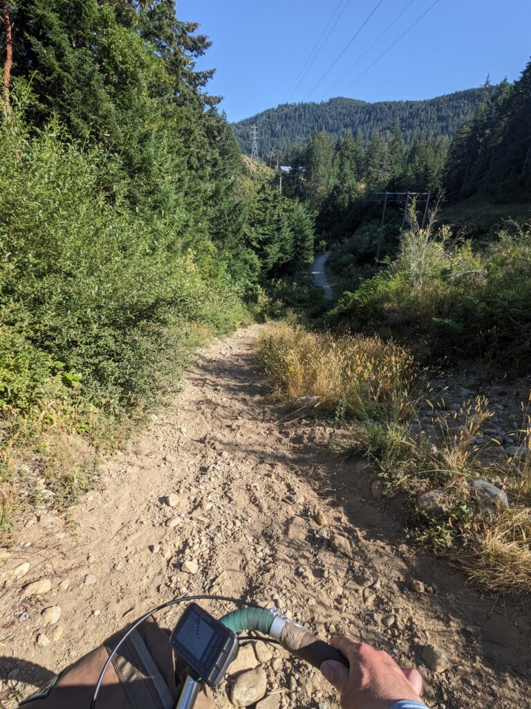
The heat was definitely getting to me at this point and I was having a pretty hard time – but I don’t think this stretch of trail is particularly difficult even though I was cursing it at the time. However the last major descent (right image, above) was so steep and loose – photo does no justice as usual – that I had to sit on my pannier rack, drag my feet while skidding both wheels to get down it. I couldn’t even walk the bike down it without falling constantly, but this proved to be a really useful way to descent it.
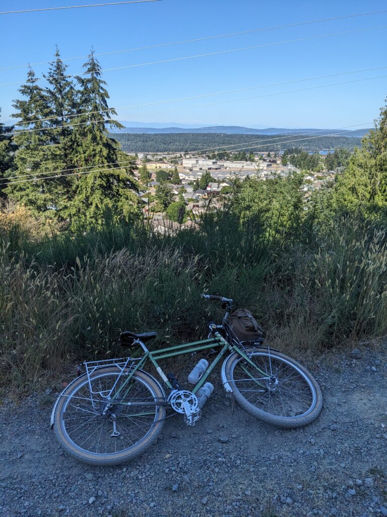
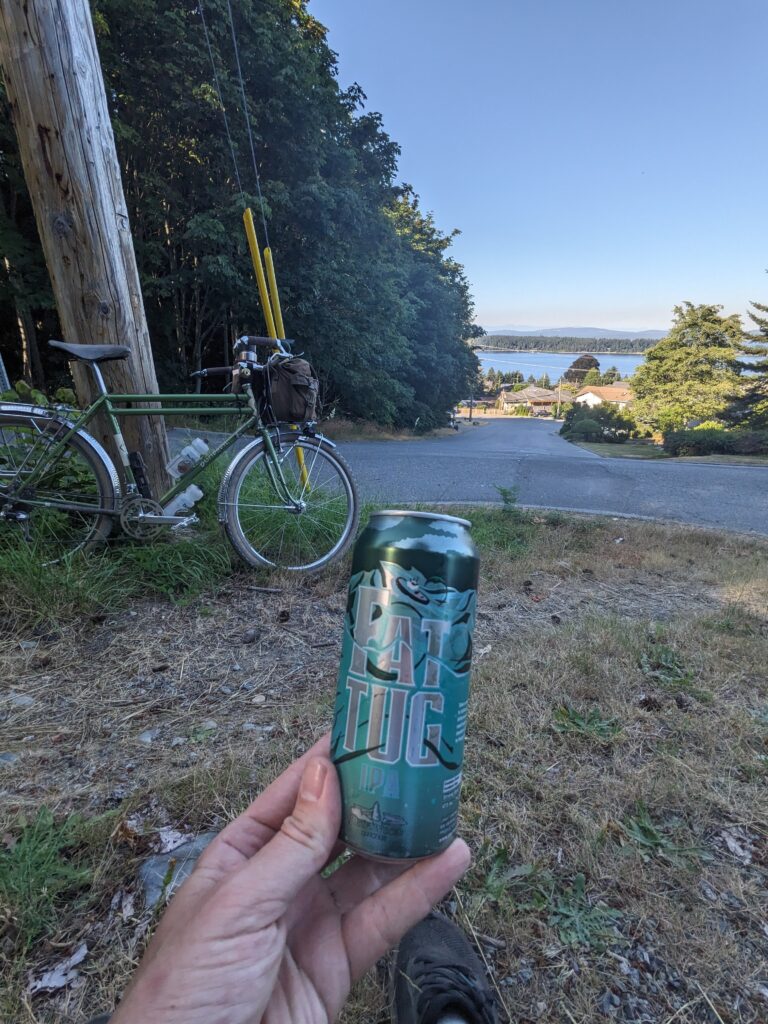
This last section was the Rotary club’s trail, and they had the grace to put a rest point in at a particularly scenic and shaded spot which I took full advantage of. Once I found myself out of the trail and into civilization, I immediately peeled into the grass and cracked a now-warm beer to celebrate surviving that.
While I sat there sipping my beer, an older gentleman slowly made his way up the hill in front of me pushing his e-bike. Turns out it ran out of juice, and this ~20% grade was no doubt plenty challenging to push up let alone ride, especially in the heat. He plunked himself down next to me and we spent about 20 minutes chatting about the trails in the area – he knew full well what I had gotten myself into, and he had ridden some of the same trails this day to my surprise.
The last ~8km or so were on Chemainus’ excellent rail trail that begins north of Saltair and is not well represented on Google, yet most certainly exists. See my Strava route below for full detail!
