Ride date: Dec 19, 2021
I co-planned this ride with a pal, but ended up not being able to join the 8am start – instead, I found myself walking the dogs at 9:30am, and every paved surface was so icy that I was constantly nearly falling and choosing to walk on grass whenever possible. I couldn’t believe that nine friends had already endured 90+ minutes of this (there were plenty of crashes).
But I got the green light to go at 11am, and headed out. It was still very icy! There was a couple instances of wanting to turn, trying it and finding out that the front tire was just going to slide, and deciding against turning in general.
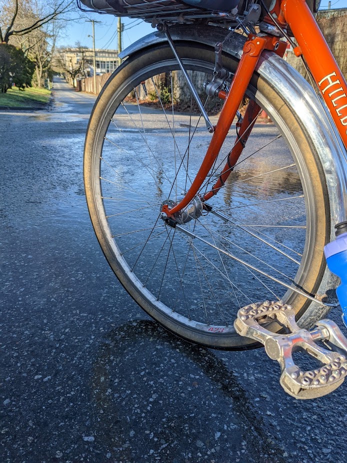
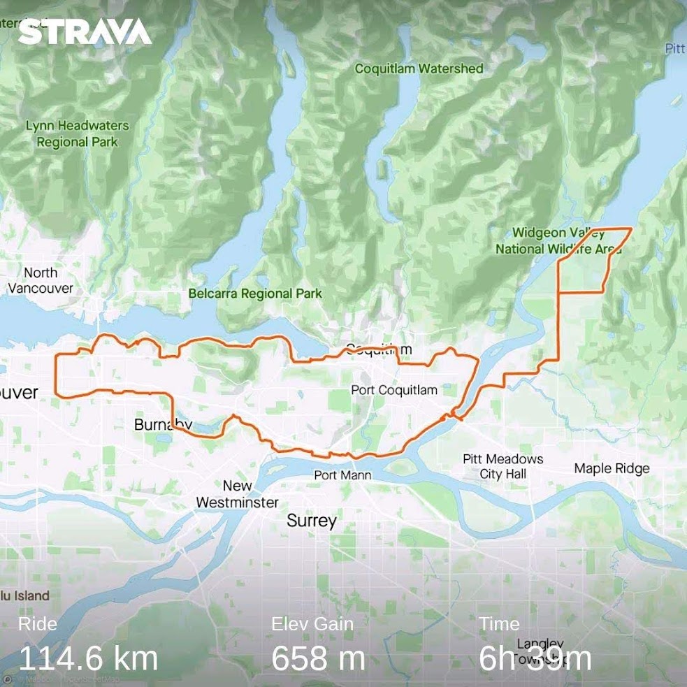
The route plan was about 115km, with about 40% gravel and the rest pavement. Due to the treacherous roads, I ended up taking more trails than initially planned just to keep on a more grippy surface.
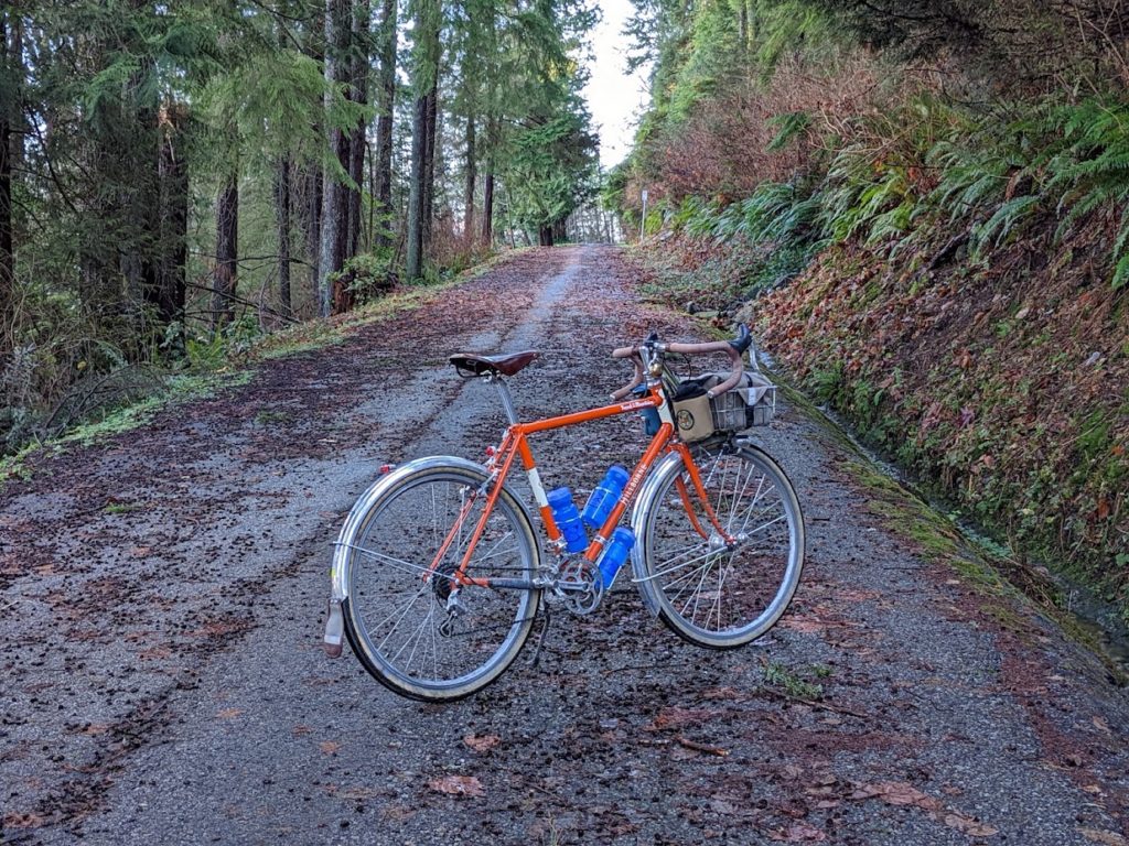
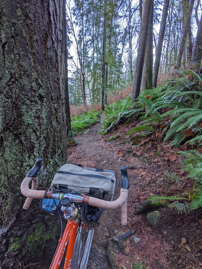
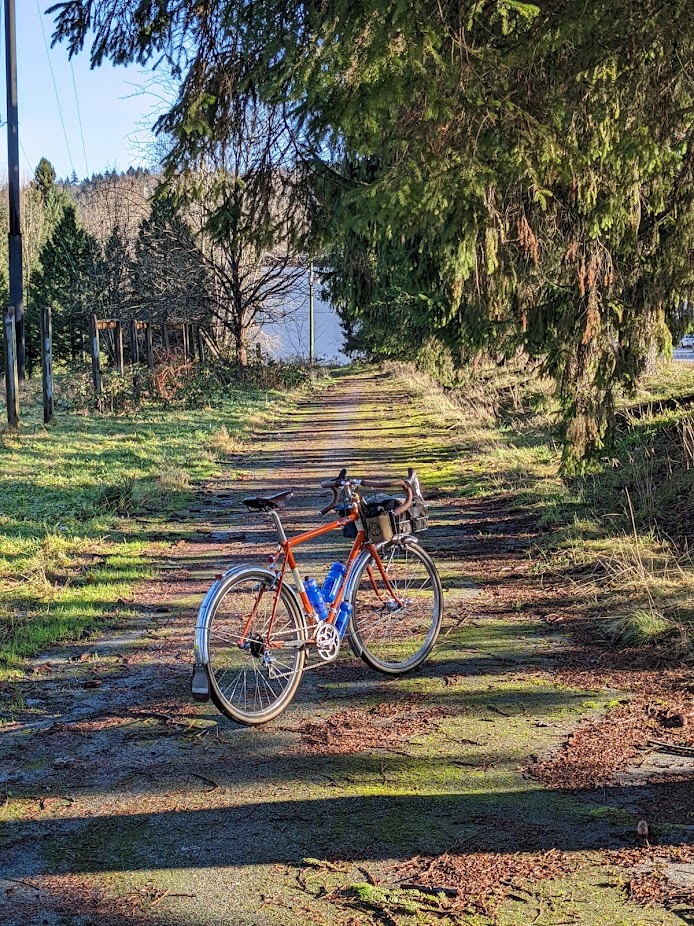
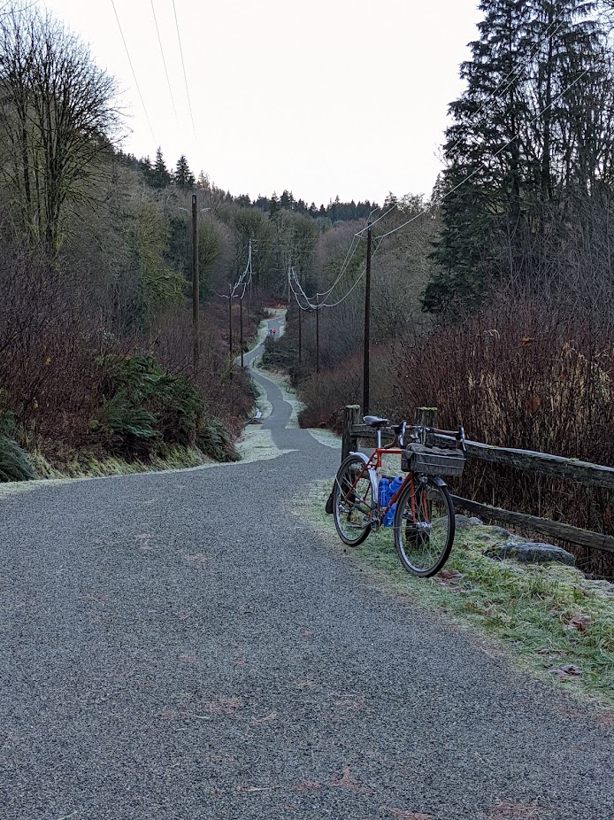
If there is one thing I am known for, it’s finding all manner of sneaky trails, connectors, and decommissioned roads to connect up where I want to go – it comes from a place of really not wanting to share my space with cars, and also the joy of exploring my surroundings.
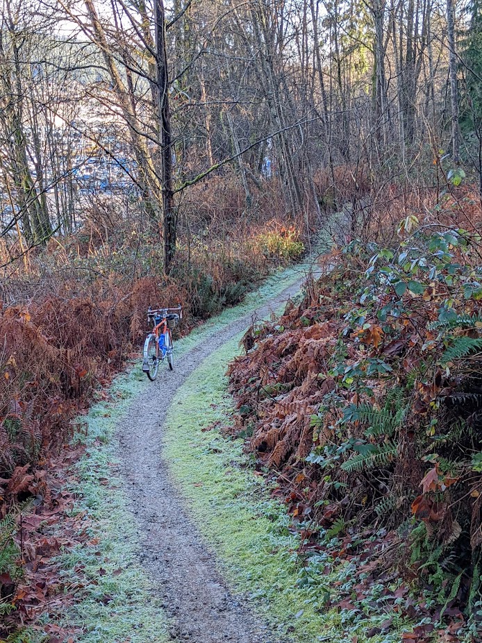
I followed the Trans Canada Trail (more or less) for the first 30 km of the ride, which took me to a favourite brewery that had just released some barrel-aged stouts. I picked up a couple, and headed further east towards Pitt Meadows by way of the Poco Trail – a really lovely gravel MUP that was seeing a lot of use today, despite the cold temps.
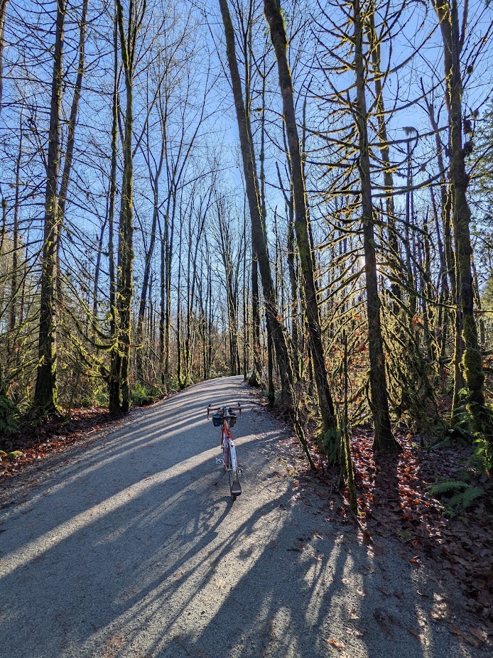
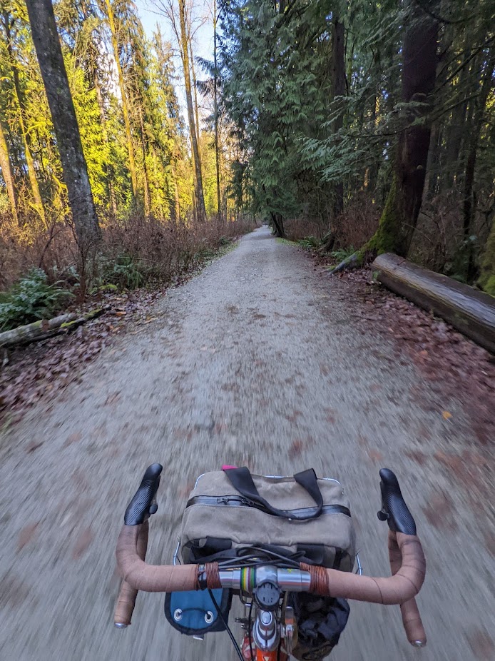
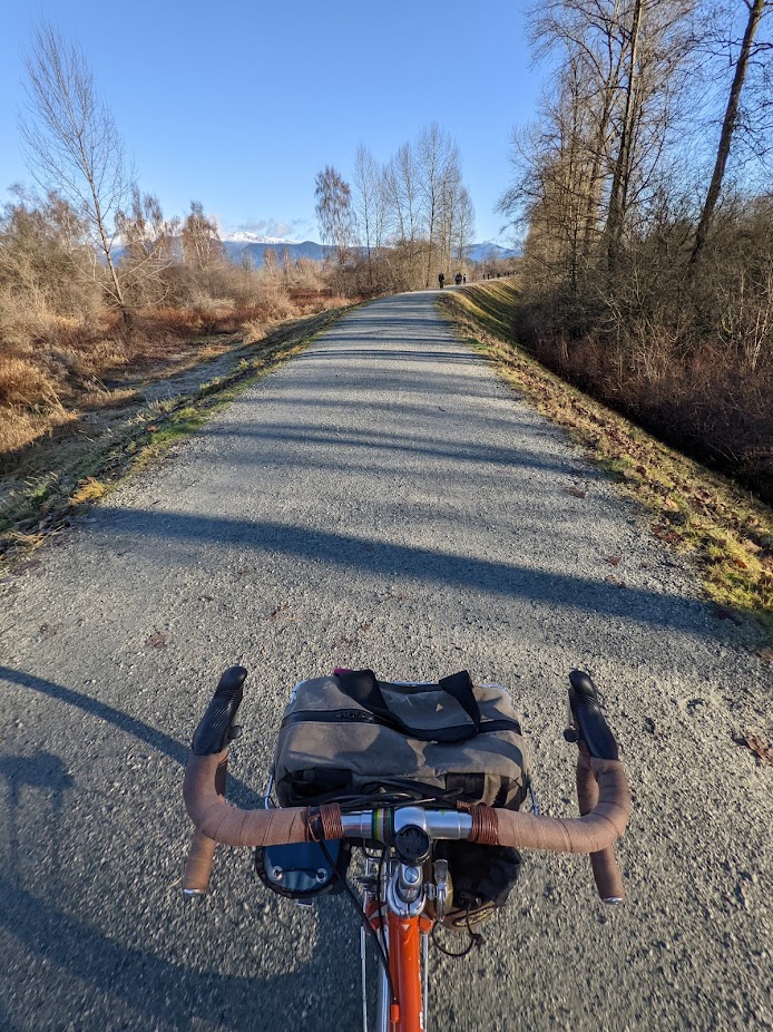
I then crossed into Pitt Meadows, known for its flood plain topography and acres upon acres of farmland segmented by dykes you can ride atop. The birding here is good, and I always see a bunch of bald eagles.
Past that, farmland roads of steadily deteriorating quality took me to the most pothole strewn kilometer of my life on a dirt road that provided access to the Pitt Addington marsh pathways. These are mentally and physically taxing to ride, as they are deeply rutted and bumpy, but provide the most incredible views of this magical valley.
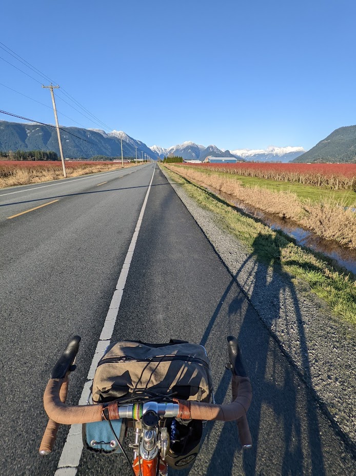
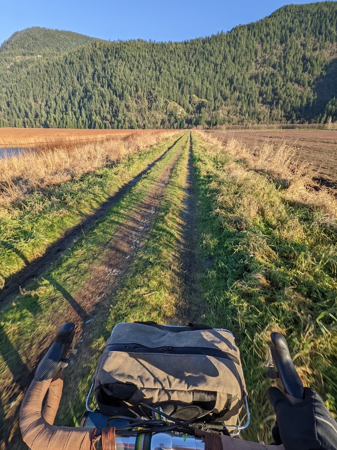
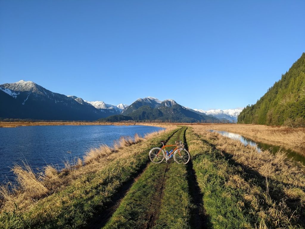
I should have taken a photo of the “paved” road out of this valley which I had looped to. Those who’ve ridden to Pitt Lake know, but otherwise it’s hard to convey just how rough the pavement is. Roubaix-like, for certain. I was running relatively low pressure in my Babyshoe Pass tires and was struck by how well they damped out the vibrations. Still rough, though! And the odd pothole large enough to send you over the bars if you hit it straight on.
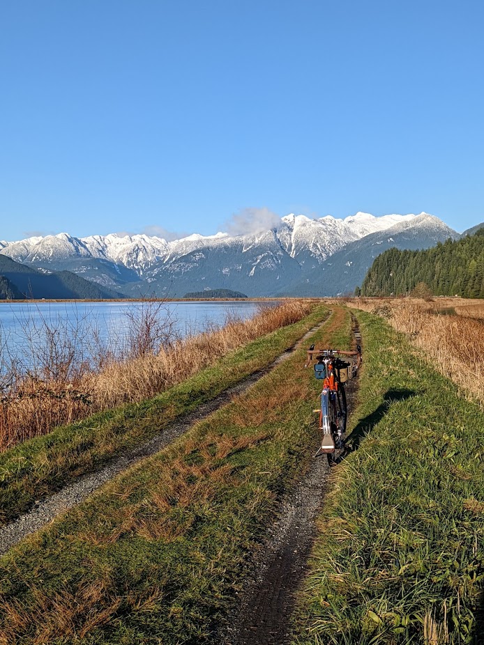
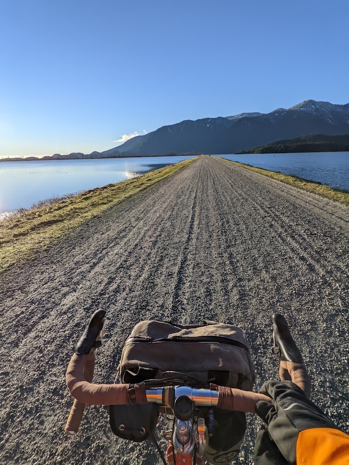
I’m getting a bit ahead of myself on the photos though – below is the main dyke that runs along the south edge of the lake (to the left is actually “marsh” but sure looks a lot like lake here). At this point it was just after 3pm, and I was 60km from home with about 75 minutes of daylight left. I fished my lunch out of the bag and ate it while riding, because I couldn’t spare a minute at this point. I knew as soon as the sun set, the ice was coming back. It never left the surfaces which didn’t see sun, mind you, but that wasn’t most surfaces thankfully.
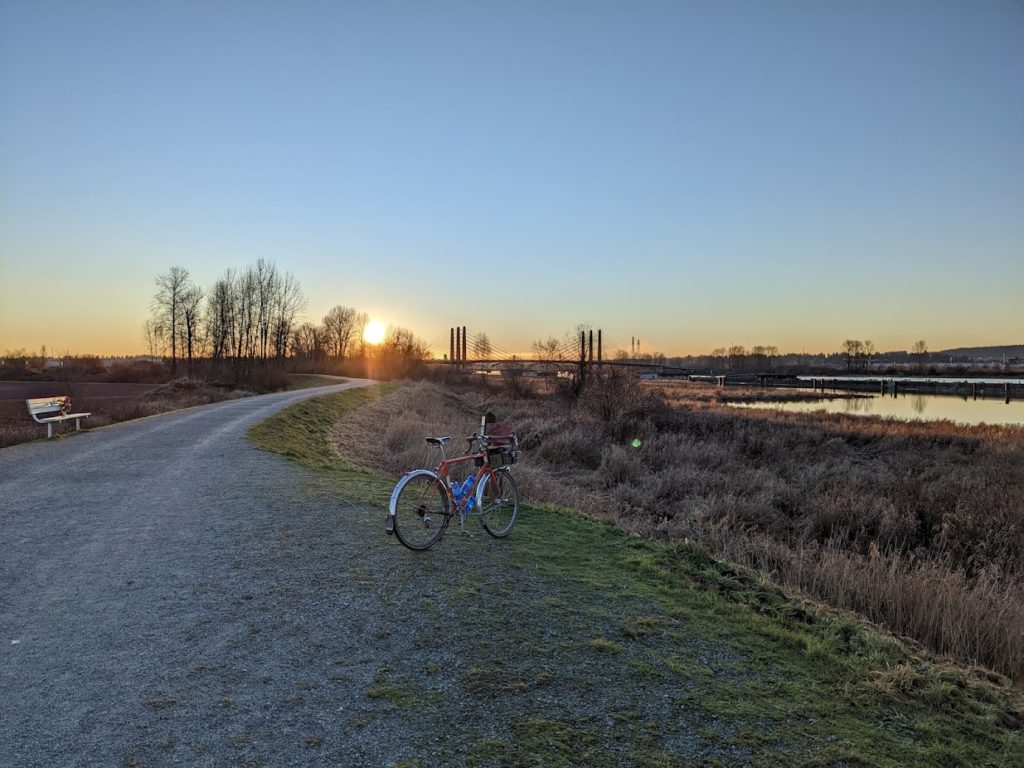
The sun set when I was about 30 km from home after a good hustle on the flat farm roads back out of Pitt Meadows, helped by a gentle tailwind. Below was the last kilometer or so of Pitt Meadows – the bridge in the background was what took me out of this suburb.
While it was now dark, and increasingly icy, I really wanted to complete the route as planned and so I took the Burnaby Lake trail which was technically closed as of 20 minutes earlier. This is part of my work commute, and is a beautiful stretch of double track that feels extremely rural despite being a stone’s throw from the highway at points.
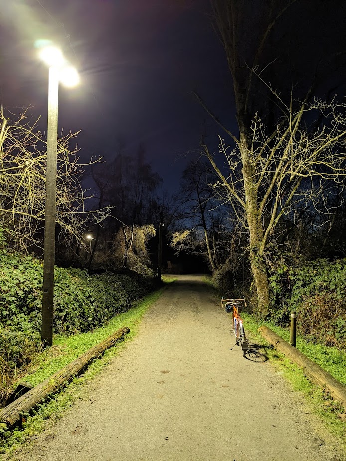
I didn’t take too many photos of the last 20 km because it was dark, and generally not that interesting – I did pass through the main roosting location for much of Vancouver’s crows at a really neat time (about an hour after sunset). The trees are completely packed full of sleeping crows on every branch, on both sides of you, for hundreds of feet – it’s really neat to experience. Thousands upon thousands of crows, yet it’s nearly dead-silent.
The ride finished at just shy of 115 km, and not a ton of elevation though that is somewhat misleading with the undulating trail for the first 30 km and then long miles of gravel, and barely-roads. I am toasted!
Leave a Reply